What is recorded here
On a NW-facing slope in pasture, overlooking the Aille River. Hachured on the 1842 and 1920 eds. of the OS 6-inch map. Listed as 'Earthwork' in the RMP (1996). This levelled subcircular enclosure (15m E-W; 12m N-S) is faintly visible in aerial imagery (OSi Aerial Premium 2013-2018) but on inspection in 1998 was traceable on the ground only as an area of rough undulating ground, piles of field-clearance rubble and domestic refuse. There is a mound (CL008-146----) c. 100m to the SSE, while Doonmacfelim tower house (CL008-059002-) lies c. 107m to the SW.
On a NW-facing slope in pasture, overlooking the Aille River. Hachured on the 1842 and 1920 eds. of the OS 6-inch map. Listed as 'Earthwork' in the RMP (1996). This levelled subcircular enclosure (15m E-W; 12m N-S) is faintly visible in aerial imagery (OSi Aerial Premium 2013-2018) but on inspection in 1998 was traceable on the ground only as an area of rough undulating ground, piles of field-clearance rubble and…
From the National Monuments Service (Archaeological Survey of Ireland) record CL008-060
The monument record does not grant public access. Check the route and ask the landowner before entering private land.
- What survives
- Recorded monument
Places near here
 Doonmacfelim Castle (in Ruins)Castle, tower house · 138 ydFisherstreet PotCave · 276 yd
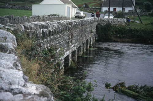 bridge351 yd
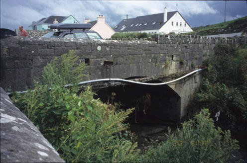 bridge373 ydEnclosure in DoonnagoreEnclosure · 850 yd
 Doonagore Castle in ruinsCastle, tower house · 1440 yd
 Wild Atlantic Way: Doolin PierVisitor information · 1589 yd
 Court tomb in TeergoneanCourt tomb · 1732 yd
 Ballaghaline PointHeadland · 1.1 mi
 Doolin PointHeadland · 1.1 mi
 Crab IslandIslet · 1.2 mi
 Doolin CaveCave · 2.4 mi
Pictures: Gareth James, Geograph · CC BY-SA 2.0; National Inventory of Architectural Heritage; Valfex, Wikimedia Commons · CC BY-SA 3.0; Bob Jones, Geograph · CC BY-SA 2.0; No machine-readable author provided. Bogman assumed (based on copyright claims)., Wikimedia Commons · CC BY-SA 2.5; Gordon Hatton, Geograph · CC BY-SA 2.0; P.hammer, Wikimedia Commons · CC BY-SA 3.0
More archaeology and monuments in County Clare · All of County Clare
What do you know about this place?