What is recorded here
In undulating pastureland with marshy ground nearby to E and higher ground SE-S. This oval-shaped enclosure (c. 67m NNW-SSE; c. 50m ENE-WSW) is defined S-W-NW by a low bank (Wth 2m; H 0.2m) and elsewhere by a faint scarp. The interior slopes gently to NW. Summary by: Gearóid Conroy and Conn Herriott
Date of upload: 6 December 2022
From the National Monuments Service (Archaeological Survey of Ireland) record CL008-121
The monument record does not grant public access. Check the route and ask the landowner before entering private land.
- What survives
- Recorded monument
Places near here
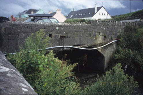 bridge486 yd
 Doonagore Castle in ruinsCastle, tower house · 594 yd
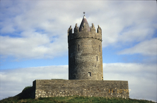 Doonnagore CastleCastle/fortified house · 594 yd
 Doonmacfelim Castle (in Ruins)Castle, tower house · 754 yd
 Wild Atlantic Way: Doolin PierVisitor information · 1563 yd
 Ballaghaline PointHeadland · 1753 yd
 Doolin PointHeadland · 1.2 mi
 Crab IslandIslet · 1.2 mi
 Court tomb in TeergoneanCourt tomb · 1.4 mi
 Doolin CaveCave · 2.8 mi
 Cliffs of Moher Visitor CentreVisitor information · 3.0 mi
 O'Brien's TowerHeritage attraction · 3.1 mi
Pictures: National Inventory of Architectural Heritage; Valfex, Wikimedia Commons · CC BY-SA 3.0; Gareth James, Geograph · CC BY-SA 2.0; Bob Jones, Geograph · CC BY-SA 2.0; Gordon Hatton, Geograph · CC BY-SA 2.0; No machine-readable author provided. Bogman assumed (based on copyright claims)., Wikimedia Commons · CC BY-SA 2.5; P.hammer, Wikimedia Commons · CC BY-SA 3.0; Joseph Mischyshyn, Geograph · CC BY-SA 2.0; Frabjousone, Wikimedia Commons · CC BY-SA 4.0
More archaeology and monuments in County Clare · All of County Clare
What do you know about this place?