What is recorded here
Marked on the 1839 and 1925 eds of the OS 6-inch map, and described in italic lettering as Teberwonaghan on both. According to UaDubhgaill (1925, 97-8) this is properly Toberonoghan or Tobar Onchon. Onchu was an early saint renowned for collecting relics who is associated with Clonmore, Co. Carlow (CW009-027----) (Ó Riain 2011, 522). This well is located towards the bottom of a S-facing slope with a W-E stream c. 60m to the S. It is not visible at ground level in a cereal crop and it is now filled in, but it is described locally as a natural spring with no associations.
From the National Monuments Service (Archaeological Survey of Ireland) record WX030-065
Places near here
Photo credits
- National Inventory of Architectural Heritage
- Mike Searle, Wikimedia Commons · CC BY-SA 2.0
- Richard Webb, Geograph · CC BY-SA 2.0
- Donald Hobern from Copenhagen, Denmark, Wikimedia Commons · CC BY 2.0
- Jonathan Thacker, Geograph · CC BY-SA 2.0
- Humphrey Bolton, Geograph · Creative Commons Attribution-ShareAlike 2.0
- A.-K. D., Wikimedia Commons · CC BY-SA 4.0
- Sarah777, Wikimedia Commons · CC BY-SA 3.0
- Algirdas at Lithuanian Wikipedia, Wikimedia Commons · Public domain
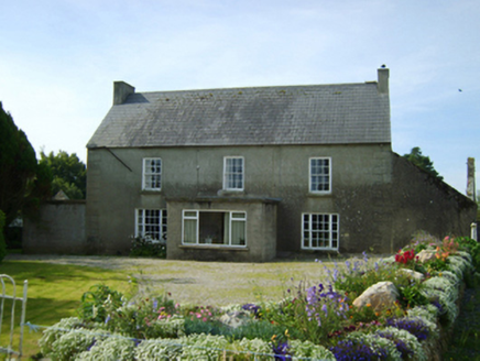 Clonroche HouseFarm house · 1.2 mi
 Chapel Railway StationRailway station · 1.2 mi
 Carrickmastia HillMountain / peak · 1.5 mi
_(geograph_5442502).jpg/250px-Castles_of_Leinster-_Adamstown,_Wexford_(1)_(geograph_5442502).jpg "Photo: Mike Searle, Wikimedia Commons · CC BY-SA 2.0") Castle (in ruins)Castle, tower house · 2.3 miGlenour MonumentMemorial · 3.0 mi
Castle (in ruins)Castle, tower house · 2.3 miGlenour MonumentMemorial · 3.0 mi Carrickbyrne HillMountain / peak · 4.8 mi
 Silver Wattle7.3 mi
Explorer Tom This Silver Wattle is probably flashing its bright yellow flowers at everyone who passes by on this walk.
 Taghmon CastleCastle · 8.4 mi
 Graveyard in St. Mullin'sGraveyard · 9.0 mi
Explorer Tom High above the River Barrow, St. Mullin's graveyard holds remains of a round tower and high cross alongside other ecclesiastical buildings within its bounds.
 St. Mullins WellHoly well · 9.0 mi
Explorer Tom Though dry now, St. Mullins Well once held a small circular chamber where water flowed through holed slabs.
 St. MullinsHistoric town · 9.0 mi
Explorer Tom St. Mullins boasts a round tower and the remains of six churches, standing as a historic town with rich monastic heritage in County Carlow.
 Pedunculate Oak10 mi
More archaeology and monuments in County Wexford · All of County Wexford
What do you know about this place?Tap to add a comment or ask a question