
What is recorded here
Situated in a hollow at the base of an E-facing slope. Natural unmarked spring with no surviving local traditions.
The above description is derived from the published 'Archaeological Inventory of County Wicklow' (Dublin: Stationery Office, 1997). In certain instances the entries have been revised and updated in the light of recent research.
Date of upload/revision: 17 December 2008
The monument record does not grant public access. Check the route and ask the landowner before entering private land.
- What survives
- Recorded monument
Places near here
 TobergoreyHoly well · 764 yd
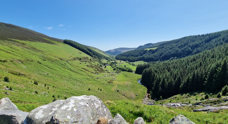 Outlined, Round OHillfort · 1029 yd
 Tinoran HillMountain / peak · 1038 yd
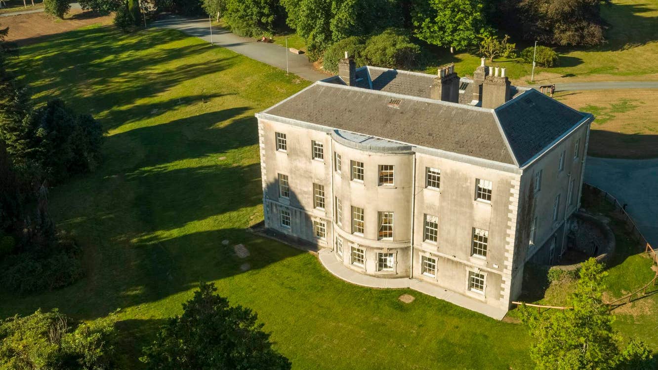 Site of Stratord LodgeRuins · 1.4 mi
 AbbeyReligious house, Cistercian monks · 1.7 mi
 CastleCastle, tower house · 1.7 mi
 European ashEuropean ash · 1.9 mi
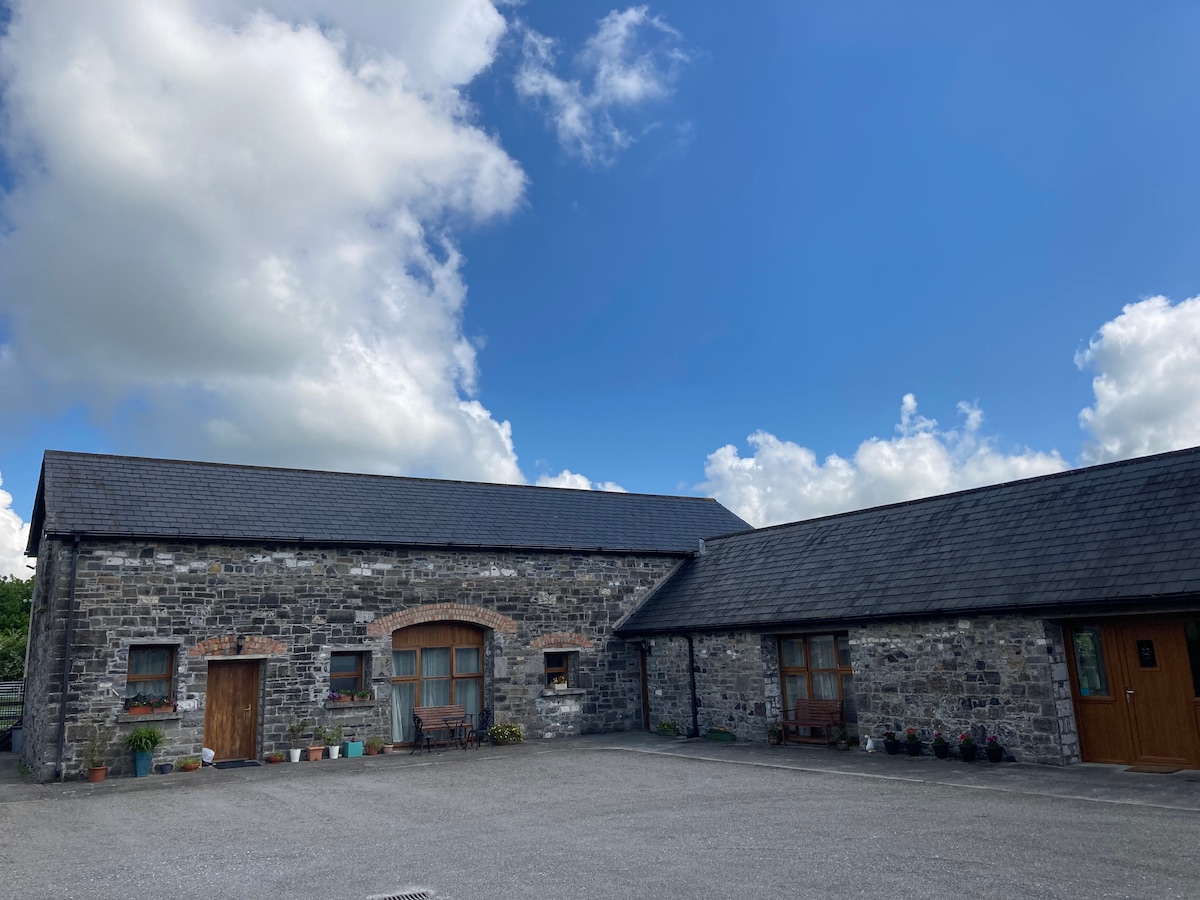 Partially OutlinedCastle, unclassified · 2.6 mi
 European LarchEuropean Larch · 3.2 mi
 Rahill Church (in ruins), GraveyardChurch · 3.4 mi
 Saint Brigit's Mass StoneNamed rock · 4.7 mi
 Sam McAllistair GraveMemorial · 4.8 mi
Other information
Photo: Credit not shown in the picture search · Rights wording not checked; contact us if this picture should be removed