
What is recorded here
From OpenStreetMap (© OpenStreetMap contributors) w241603505
Places near here
Photo credits
- Maker not stated on source page, www.flickr.com
- National Inventory of Architectural Heritage
- Maker not stated on source page, www.thearchaeologist.org
- Maker not stated on source page, www.gettyimages.com.au
- Maker not stated on source page, www.thejournal.ie
- Maker not stated on source page, www.geograph.ie
- Sarah777, Geograph · CC BY-SA 2.0
 Enclosure in GoldenfortEnclosure · 33 yd
Explorer Tom Enclosure in Goldenfort does some weird stuff when nobody's looking, like hosting secret meetings between the burial…
Fairy fort / earthen ringfort in GibraltarFairy fort / earthen ringfort · 312 ydExplorer Tom Fairy fort / earthen ringfort in Gibraltar was levelled before 1975, probably by a very angry farmer. The local sheep…
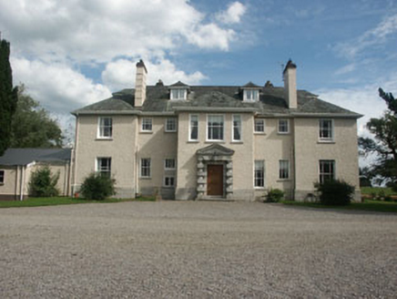 SaundersgroveCountry house · 1189 yd
Explorer Tom Saundersgrove in Saundersgrove is having its least favourite visitor, which is definitely the guy who put up the ‘No…
 Church in RathbranChurch · 1311 yd
Explorer Tom The Church in Rathbran is basically a ghost town that thinks it’s still hosting the county fair. The old records say it…
 Graveyard in RathbranGraveyard · 1311 yd
Explorer Tom Graveyard in Rathbran is still in use even though its church got totally destroyed, which means it’s working harder…
 Fairy fort / earthen ringfort in RampereFairy fort / earthen ringfort · 1654 yd
Explorer Tom Fairy fort / earthen ringfort in Rampere is claimed by a local who swears he invented the concept of earthen banks…
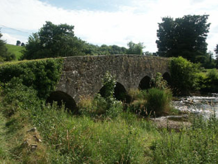 Manger BridgeBridge · 1759 yd
Explorer Tom Manger Bridge is basically the uncle at a wedding who refuses to move from the corner of the room. It’s been standing…
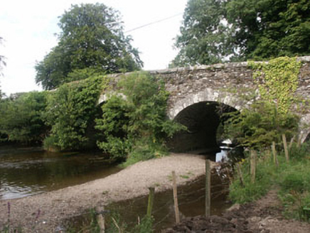 Tuckmill BridgeBridge · 1.0 mi
Explorer Tom Tuckmill Bridge in Tuckmill Lower has a secret talent for juggling stones without dropping them. It’s been doing this…
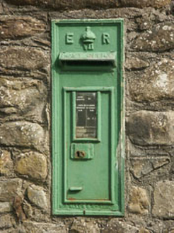 post box1.1 mi
Explorer Tom Post box in Tuckmill Lower was once run by a matchmaker who paired up lonely locals via the post. It’s an Edwardian box…
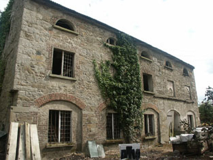 mill (water)1.1 mi
Explorer Tom Mill in Tuckmill Lower is a disused corn mill from the late 18th century that’s still standing tall. It’s relatively…
 Stratford Castle (in Ruins)Building · 1.3 mi
Explorer Tom Stratford Castle on Ballyhook Hill is furious that people think it’s a castle when locals say it was a fowling house…
 Tinoran HillMountain / peak · 1.8 mi
Explorer Tom Tinoran Hill’s dating profile says it’s loyal, steady, and will never move its feet once settled down. It’s been…
More memorials and graveyards in County Wicklow · All of County Wicklow

What do you know about this place?Tap to add a comment or ask a question