What is recorded here
Fairy fort in Hughstown, County Kildare: a thirty-metre ring of earth, stone and cut rock on a south-facing slope above pasture. People may have lived there, marked territory or simply watched the valley; the shape still refuses to be dismissed as nothing.
Approximately circular area (diam. c. 30m) enclosed by earth and stone bank and rock-cut fosse. Situated on a S facing slope overlooking pasture land.
Date of upload: 15 September 2016
The monument record does not grant public access. Check the route and ask the landowner before entering private land.
- What survives
- Recorded monument
Places near here
 Hillfort in HughstownHillfort · 699 yd
 IndicatedEcclesiastical enclosure · 1334 yd
 European ashEuropean ash · 1.2 mi
 Tinoran HillMountain / peak · 1.6 mi
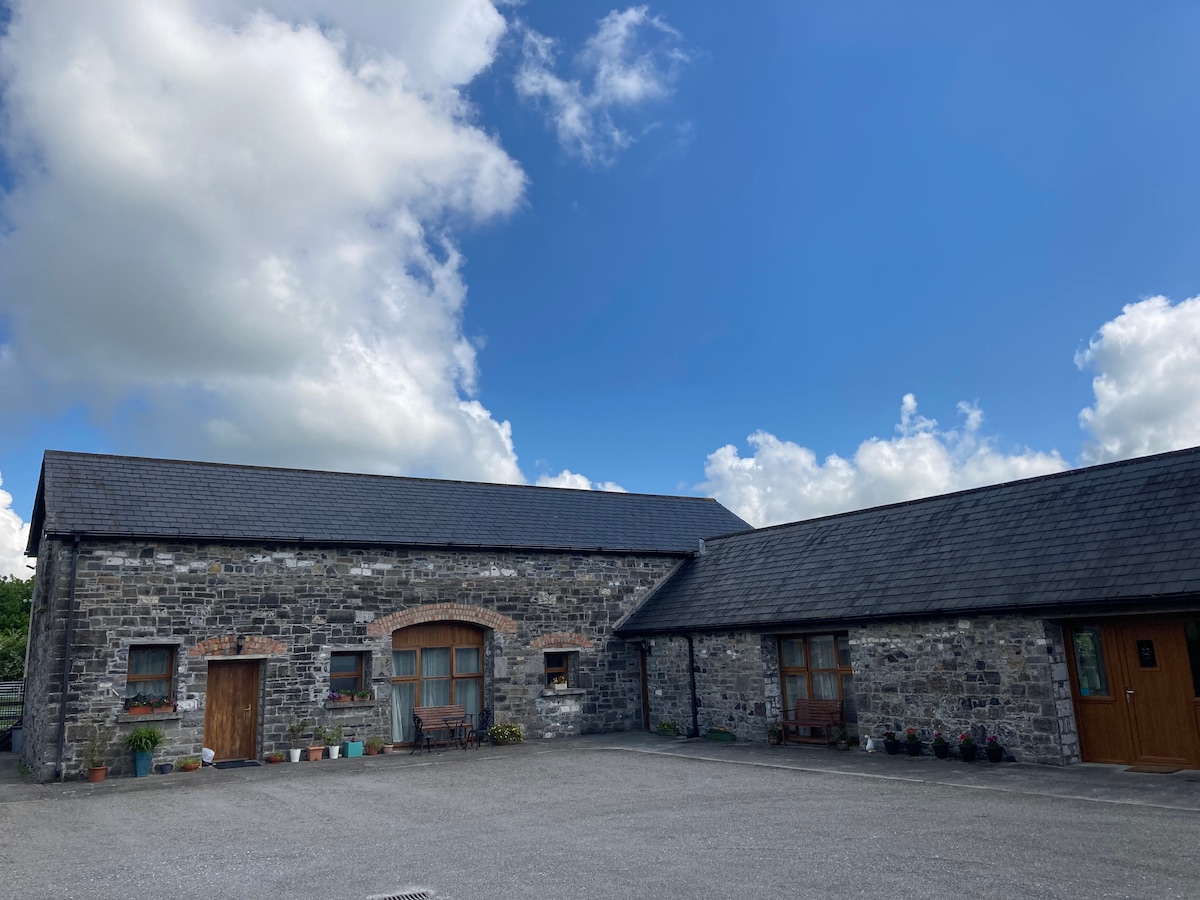 Partially OutlinedCastle, unclassified · 1.6 mi
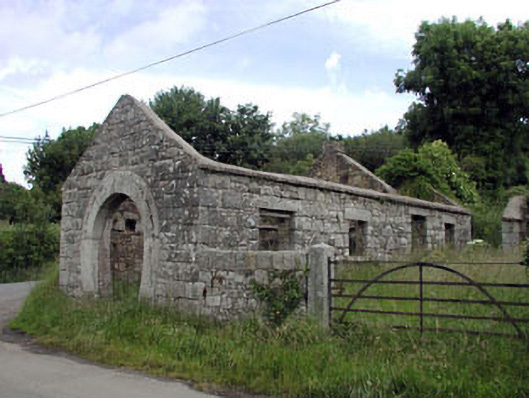 forge/smithyforge/smithy · 1.7 mi
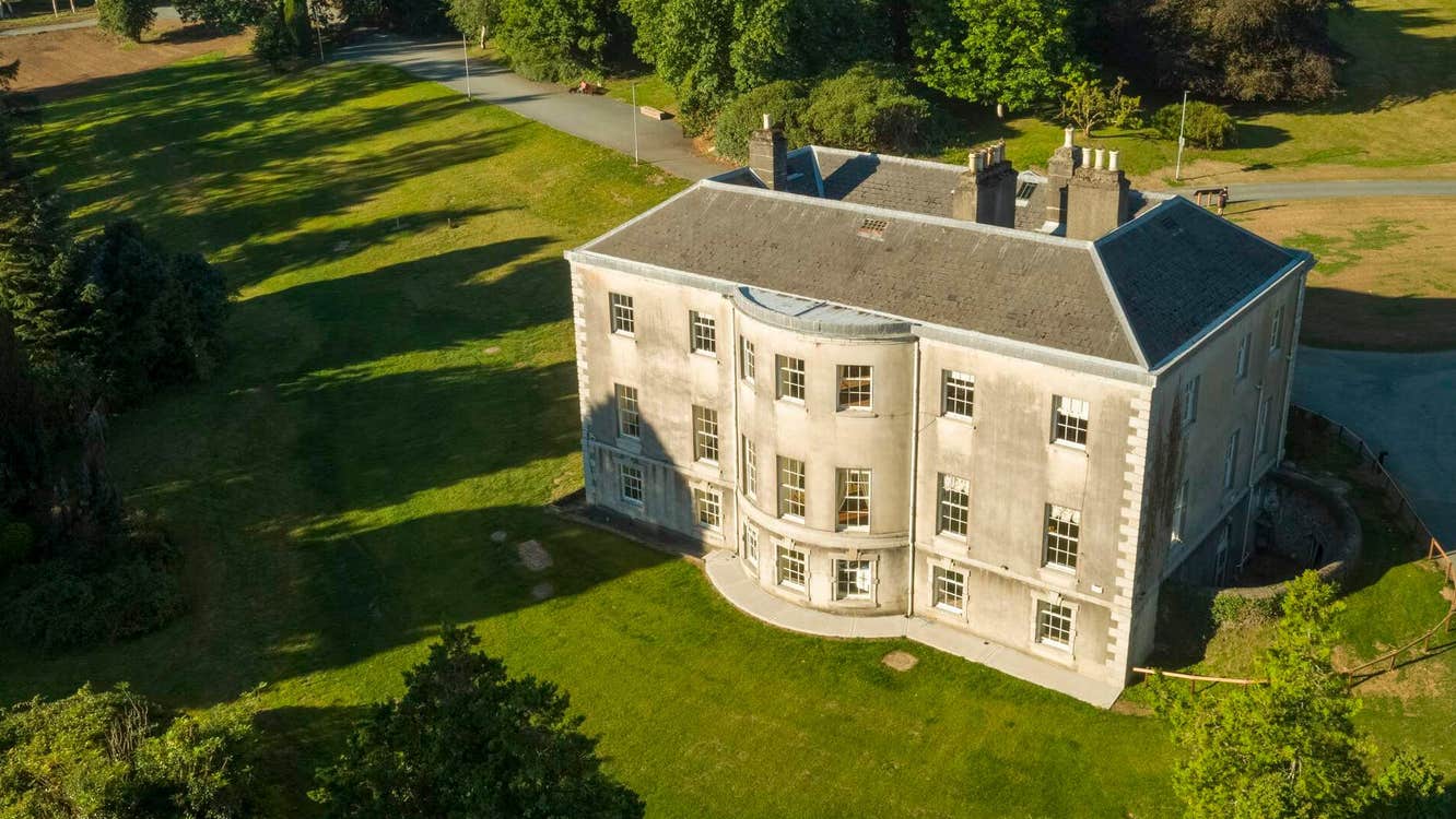 Site of Stratord LodgeRuins · 1.8 mi
 Bolton CastleCastle, tower house · 2.8 mi
 Rahill Church (in ruins), GraveyardChurch · 3.1 mi
 European LarchEuropean Larch · 3.3 mi
 Castledermot Round TowerHeritage attraction · 3.9 mi
 Franciscan FriaryHeritage attraction · 4.0 mi