What is recorded here
Marked on the 1835 and 1913 eds of the OS 6-inch map where it is described in gothic lettering as 'Toberpatrick' and situated towards the bottom of a low rise. This is a roughly subcircular well (dims c. 1.5m E-W; c. 1m N-S; D 0.4m) enclosed by a stone wall that was roofed in 1987 by a single flat slab (SMR file). The enclosing wall is absent at W where a drain leads to a N-S stream which is c. 35m distant. Patterns were formerly held annually at the well on March 17th (local information, 1987) but have not been held for many years and the Weir Spring (CV039-088----) c. 100m to the SE is now sign-posted as 'Toberpatrick'. Date of revised upload: 9 November 2015
Marked on the 1835 and 1913 eds of the OS 6-inch map where it is described in gothic lettering as 'Toberpatrick' and situated towards the bottom of a low rise. This is a roughly subcircular well (dims c. 1.5m E-W; c. 1m N-S; D 0.4m) enclosed by a stone wall that was roofed in 1987 by a single flat slab (SMR file). The enclosing wall is absent at W where a drain leads to a N-S stream which is c. 35m distant.…
From the National Monuments Service (Archaeological Survey of Ireland) record CV039-037
The monument record does not grant public access. Check the route and ask the landowner before entering private land.
- What survives
- Recorded monument
Places near here
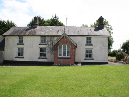 worker's house372 yd
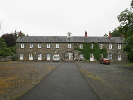 Virginia Park LodgeStables · 651 ydThe Great FamineMemorial · 1015 ydSallow IslandIslet · 1148 ydRoll of HonourMonument · 1203 ydStony IslandsIslet · 1414 yd
 European Yew1434 ydVirginia Handball ClubMemorial · 1522 yd
 Welcome to VirginiaVisitor information · 1638 ydThe Virginia BroochMonument · 1.1 miMoatCastle, motte and bailey · 1.4 mi
 Sessile Oak1.5 mi
Pictures: National Inventory of Architectural Heritage; Sitomon, Wikimedia Commons · CC BY-SA 2.0; P Webb, Geograph · CC BY-SA 2.0; Maker named on the Wikimedia Commons picture page · CC BY-SA 2.5
More archaeology and monuments in County Cavan · All of County Cavan
What do you know about this place?