What is recorded here
Situated on a small promontory jutting into Lough Ramor and cut off from the mainland by a substantial external bank and wide, deep fosse curving from NE-E-SE. The motte is situated in the SE of the enclosed area. It comprises a high, steep-sided, and flat-topped circular earthen mound (diam. of base c. 28m; H 4-5m). The summit of the mound is also circular (diam. c. 12m N-S). A shallow fosse to the NE of the motte separates it from the bailey which itself comprises two courts separated by a low stone wall. The outer court adjoins a rectangular depression which may have been a slipway for boats. No trace of any buildings within bailey. (Davies 1947a, 78)
The above description is derived from the published 'Archaeological Inventory of County Cavan' (Dublin: Stationery Office, 1995).
Situated on a small promontory jutting into Lough Ramor and cut off from the mainland by a substantial external bank and wide, deep fosse curving from NE-E-SE. The motte is situated in the SE of the enclosed area. It comprises a high, steep-sided, and flat-topped circular earthen mound (diam. of base c. 28m; H 4-5m). The summit of the mound is also circular (diam. c. 12m N-S). A shallow fosse to the NE of the…
From the National Monuments Service (Archaeological Survey of Ireland) record CV039-055
The monument record does not grant public access. Check the route and ask the landowner before entering private land.
- What survives
- Recorded monument
Places near here
Crossafehin IslandsIslet · 426 ydScrabby IslandIslet · 507 yd Lake View HouseHouse · 845 ydrectory/glebe/vicarage/curate's house917 ydWelcome to VirginiaVisitor information · 1.6 miEuropean Yew1.7 miVirginia Handball ClubMemorial · 1.7 miSessile Oak2.0 miIslandMountain / peak · 2.4 miBallaghanea Portal TombArchaeological place · 2.5 miGrave YardGraveyard · 3.4 miCavan County MuseumMuseum · 4.9 mi
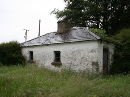 Lake View HouseHouse · 845 yd
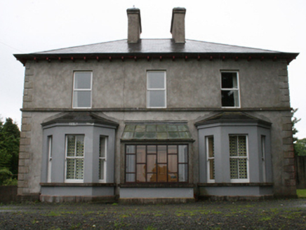 rectory/glebe/vicarage/curate's house917 yd
 Welcome to VirginiaVisitor information · 1.6 mi
 European Yew1.7 miVirginia Handball ClubMemorial · 1.7 mi
 Sessile Oak2.0 mi
 IslandMountain / peak · 2.4 mi
 Ballaghanea Portal TombArchaeological place · 2.5 mi
 Grave YardGraveyard · 3.4 mi
.jpg/250px-Ballyjamesduff-Cavan_County_Museum_(geograph_7350383).jpg "Photo: Ian Rob, Wikimedia Commons · CC BY-SA 2.0") Cavan County MuseumMuseum · 4.9 mi
Cavan County MuseumMuseum · 4.9 miPictures: National Inventory of Architectural Heritage; P Webb, Geograph · CC BY-SA 2.0; Sitomon, Wikimedia Commons · CC BY-SA 2.0; Maker named on the Wikimedia Commons picture page · CC BY-SA 2.5; Richard Webb, Geograph · CC BY-SA 2.0; Wanfried-Dublin, Wikimedia Commons · CC BY-SA 4.0; Kieran Campbell, Geograph · Creative Commons Attribution-ShareAlike 2.0; Ian Rob, Wikimedia Commons · CC BY-SA 2.0
More castles and forts in County Cavan · All of County Cavan
What do you know about this place?