
What is recorded here
Situated on flat poorly drained land with a marsh immediately to the S. A natural spring well enclosed by a drystone wall (H 0.7m) enclosing a rectangular area (dims. 1.3m x 2.4m) at N, S and E with a stream flowing out from the well at W. No votive offerings were visible. According to local tradition local customs associated with the well died out approx. 30 years ago (FitzPatrick 1985b, 71). The site was described in the OS Name Books as St John's Well where local ceremonies were held to cure diseases especially those of the eye. Pattern day was held on the 24th of June which is St John's Day.
The above description is derived from 'The Archaeological Inventory of County Tipperary. Vol. 1 - North Tipperary' compiled by Jean Farrelly and Caimin O'Brien (Dublin: Stationery Office, 2002). In certain instances the entries have been revised and updated in the light of recent research.
Date of upload/revision: 22 September 2008
A local holy well or ritual site; wider significance not recorded.
The monument record does not grant public access. Check the route and ask the landowner before entering private land.
- What survives
- Recorded monument
Places near here
 Tullan CastleCastle · 843 yd
 Church in Carney, Commons OFChurch · 998 yd
 Enclosure in DrummondEnclosure · 1000 yd
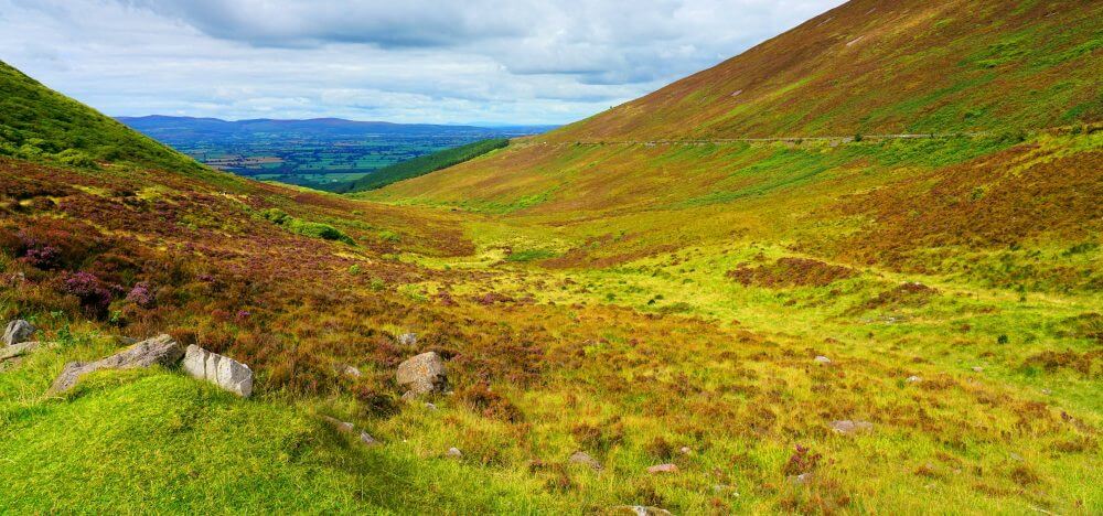 IndicatedEnclosure · 1182 yd
 Castle (in Ruins)Bawn · 1.1 mi
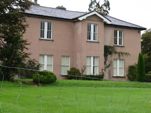 Annaghcountry house · 1.1 mi
 Carrickboy WoodForest · 1.3 mi
 Buggane IslandIslet · 3.1 mi
 Knigh HillMountain / peak · 3.3 mi
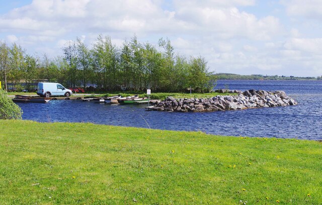 Lough DergNationally known place · 3.7 mi
 Goat IslandIslet · 3.8 mi
 Dromineer BayBay · 4.0 mi
Other information
Photo: Credit not shown in the picture search · Rights wording not checked; contact us if this picture should be removed