What is recorded here
According to O'Donoghue (1986, 7) 'at the west of the townland is Tobernasool'. Unable to locate.
The above description is derived from the published 'Archaeological Inventory of County Cork. Volume 1: West Cork' (Dublin: Stationery Office, 1992). In certain instances the entries have been revised and updated in the light of recent research.
Date of upload/revision: 14 January 2009
Tobernasool is traditionally associated with Saint Sool, a lesser-known early Irish saint, and was likely a site of pilgrimage and healing. Holy wells dedicated to Saint Sool are found in various parts of Ireland, often linked to cures for skin ailments and general well-being.
The monument record does not grant public access. Check the route and ask the landowner before entering private land.
- What survives
- Recorded monument
Places near here
 Dunmanus Castle (in Ruins)Castle, tower house · 1062 yd
 CairnCairn, unclassified · 1138 yd
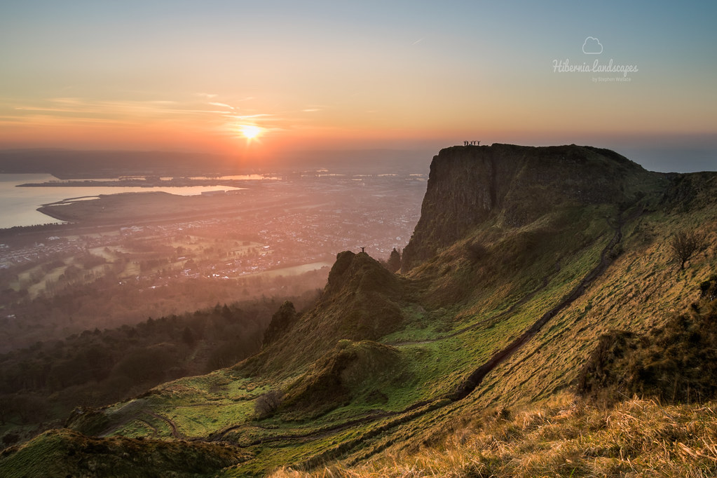 CaveMan-made underground passage · 1487 yd
 Dunmanus PointHeadland · 1491 yd
 Castle (Site of)Castle, unclassified · 1531 yd
 Ballyrisode Bridgebridge · 1.1 mi
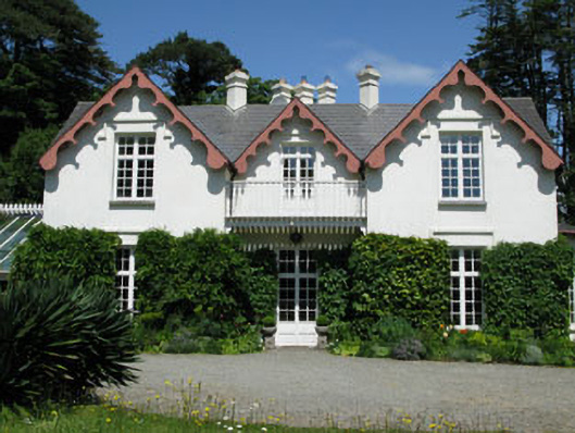 Ballyrisode Househouse · 1.3 mi
 Ballyrisode WoodWood · 1.4 mi
 Dunmanus BayBay · 1.4 mi
 KnockaphucaMountain / peak · 1.4 mi
 AltarViewpoint · 1.8 mi
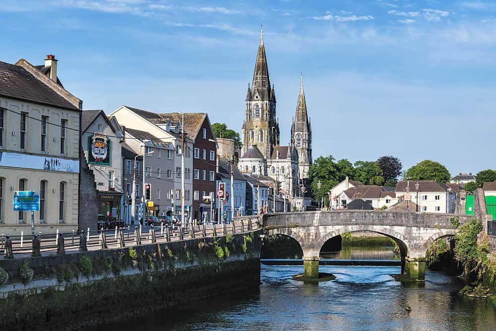 CarrigweeIslet · 1.9 mi