Places near here
Photo credits
- National Inventory of Architectural Heritage
- Golfing in Ireland; photographer not stated, Source publisher
 Mount BernardHouse · 656 yd
Explorer Tom Mount Bernard has a hipped roof and round-headed door that make it look very classical and proper. Built around 1820…
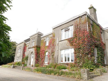 Laragh HouseCountry house · 772 yd
Explorer Tom Laragh House in Laragh is basically a house that kept growing like a tumour, adding bits every century. It’s got an…
 Carhoon HouseHouse · 1138 yd
Explorer Tom Carhoon House is a 1780 ghost town situation in Carhoon East. It’s currently disused, which is great if you like…
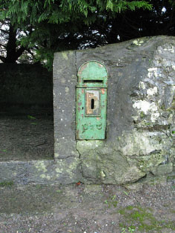 post box1198 yd
Explorer Tom Post box in Laragh is flexing its Gaelic muscles with some lovely raised lettering. It’s a proper street furniture…
 Baxter’s BridgeBridge · 1298 yd
Explorer Tom Baxter’s Bridge is straddling the Bandon River with three elegant limestone arches from around 1820. The stonework is…
 Gaggin HouseFarm house · 1.3 mi
Explorer Tom Gaggin House in Curravarahane is a simple farmhouse from 1860 that’s currently unoccupied, so it’s probably full of…
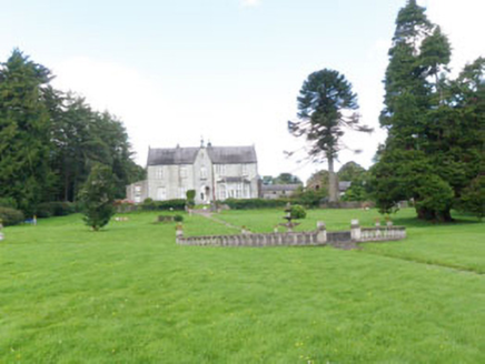 The FarmCountry house · 1.3 mi
Explorer Tom The Farm in Curravarahane is a Gothic-Revival country house designed by Joseph Welland around 1820. It has exuberant…
 milestone/milepost1.5 mi
Explorer Tom Milestone or milepost in Gaggan is a simple triangular cast-iron marker from around 1890. It’s got embossed…
 Lady Chapel Roman Catholic ChurchChurch/chapel · 1.5 mi
Explorer Tom Lady Chapel Roman Catholic Church is dressed up in stained glass like it’s ready for a wedding. It’s got a bell tower…
 Woodfort HouseHouse · 1.5 mi
Explorer Tom Woodfort House has a basement that looks like it’s trying to hide from the sun. The mother-in-law who supposedly…
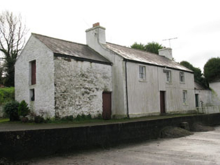 farm house1.5 mi
Explorer Tom Farm house in Gurteen has used its rear as the main entrance for ages. That’s just how farmhouses roll since 1820. The…
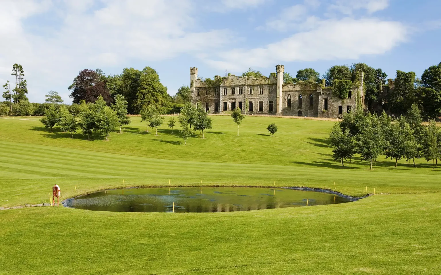 Bandon Golf ClubGolf course · 1.6 mi
More waterfalls, wells and springs in County Cork · All of County Cork

What do you know about this place?Tap to add a comment or ask a question