What is recorded here
On a S-facing slope of rising ground in undulating countryside with good views from E to S. A dried up natural spring well is now visible as a hollow depression set into the S face of the hill. There is no local tradition of the well being associated with a pattern.
Compiled by: Jean Farrelly
Date of upload: 26 August 2011
The monument record does not grant public access. Check the route and ask the landowner before entering private land.
- What survives
- Recorded monument
Places near here
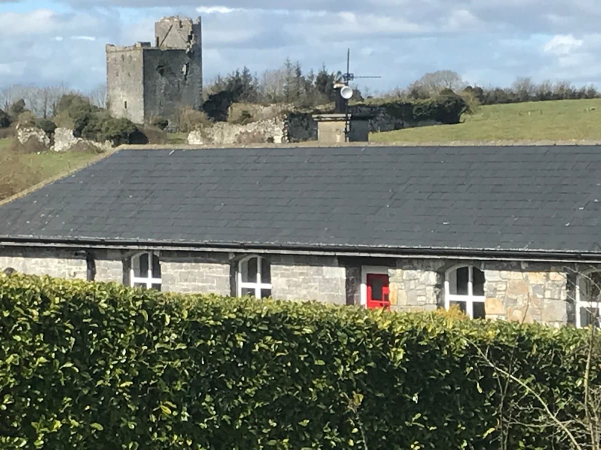 Bawn in Clonyharp (clogher Par.)Bawn · 505 yd
 Graigone Castle (in ruins)House, fortified house · 951 yd
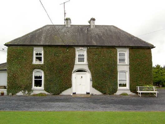 Clogher Househouse · 975 yd
 Druids AltarMegalithic structure · 1008 yd
 Enclosure in MarlowEnclosure · 1086 yd
 RoadRoad, road/trackway · 1230 yd
 Clonoulty HillMountain / peak · 1.4 mi
 Drum WoodWood · 1.7 mi
 Cormackstown Heritage CentreMuseum · 4.0 mi
 Ring HillMountain / peak · 4.3 mi
 Wych ElmWych Elm · 5.5 mi
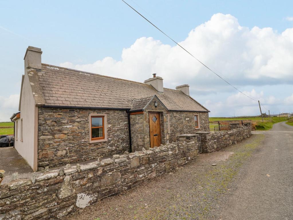 Bawn in ClogherBawn · 1105 yd