
What is recorded here
From the National Monuments Service (Archaeological Survey of Ireland) record WA015-052
Places near here
Photo credits
- Hywel Williams, Wikimedia Commons · CC BY-SA 2.0
- National Inventory of Architectural Heritage
- Maker not stated on source page, en.wikipedia.org
- Eddie Dee / Waterford News & Star (article credits all photos to Eddie Dee), www.waterford-news.ie
- Jonathan Thacker, Geograph · Creative Commons Attribution-ShareAlike 2.0
- Maker not stated on source page, pl.pinterest.com
- Maker not stated on source page, www.dailypost.co.uk
- Maker not stated on source page, coastradar.com
 Golden HarvestInstallation · 114 yd
Explorer Tom Golden Harvest is guarding a hidden tunnel that leads straight to the back bar of the pub. Rumor says if you whisper…
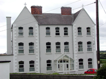 Convent of MercyConvent/nunnery · 582 yd
Explorer Tom Convent of Mercy in Kilmacthomas is where the whole parish once argued about whether the spires were too pointy or not…
 Convent of Mercy CemeteryCemetery · 597 yd
Explorer Tom Convent of Mercy Cemetery thinks the local sheep have very rude opinions about its flower beds, which is frankly true.…
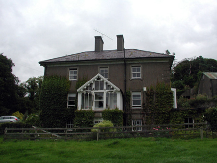 Rossmore HouseHouse · 677 yd
Explorer Tom Rossmore House in Kilmacthomas was built by someone who always had an exit strategy up their sleeve. It’s a grand old…
 Kilmacthomas GAA pitchGAA ground · 692 yd
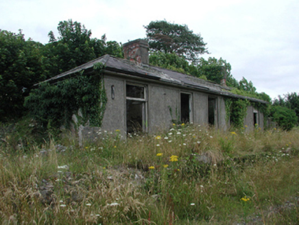 Kilmacthomas Railway StationRailway station · 728 yd
Explorer Tom Kilmacthomas Railway Station is hiding a massive scandal involving a lost crate of Victorian chocolates that it refuses…
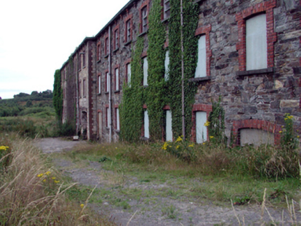 mill (water)832 yd
Explorer Tom Mill in Graigueshoneen is playing hard to get, apparently. Legend has it a Viking got so lost searching for it that he…
 Saint John's Church (Rossmire)Church/chapel · 856 yd
Explorer Tom Saint John's Church in Rossmire is guarding a ridiculous smuggling story about cheese barrels. It dates from 1831, but…
 Historic buildingOfficially recorded historic building · 892 yd
Explorer Tom Historic building in Kilmacthomas is a pill box where a poet once fell into the ditch while trying to recite sonnets…
 Our Lady of Mercy CemeteryGraveyard · 1141 yd
Explorer Tom Our Lady of Mercy Cemetery in County Waterford has strict rules about visitors, including 'don’t talk too loud' and…
 Standing stone in Ballynabanoge NorthStanding stone · 1566 yd
Explorer Tom Standing stone in Ballynabanoge North is a small mica-bearing block that looks like it gave up halfway through standing…
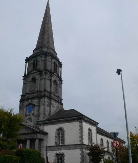 Church (Site of)Church · 1748 yd
Explorer Tom Church in Kilnagrange has a prophecy about it that never came true, which is annoying. It sits on a hill crest where…
More archaeology and monuments in County Waterford · All of County Waterford

What do you know about this place?Tap to add a comment or ask a question