What is recorded here
Situated on marshy land. Toberslauntia Well (WM012-028---) 50m to SE. Depicted on the 1837 ed. OS 6-inch map and annotated as ‘Tobermichael’. This is an overgrown spring. There are no known religious associations.
From the National Monuments Service (Archaeological Survey of Ireland) record WM012-029
The monument record does not grant public access. Check the route and ask the landowner before entering private land.
- What survives
- Recorded monument
Places near here
Photo credits
- National Inventory of Architectural Heritage
- kevin higgins, Geograph · CC BY-SA 2.0
- Bridget Neville, Wikimedia Commons · CC BY-SA 4.0
- Mike Searle, Geograph · CC BY-SA 2.0
- Rev William Falkiner (Life time: d 1910), Wikimedia Commons · Public domain
- Kieran Campbell, Geograph · CC BY-SA 2.0
ToberslauntiaHoly well · 63 ydCeremonial enclosure in KnightswoodCeremonial enclosure · 319 yd Ballynafid National SchoolSchool · 827 ydRic barracks1173 ydScragh Bog Nature ReserveNature reserve · 1.3 miChurch IslandIsland · 2.1 miBridge Memorial (Kenna)Memorial · 2.2 miLong PlantingForest · 2.6 miSaint Brigid's WellSpring · 3.4 miCarrick CastleCastle · 3.5 miMortimer's CastleArchaeological place · 3.6 miWestmeathVisitor information · 6.0 mi
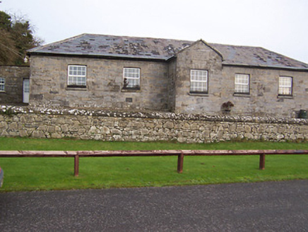 Ballynafid National SchoolSchool · 827 yd
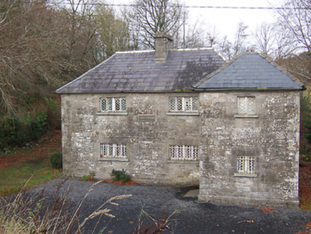 Ric barracks1173 ydScragh Bog Nature ReserveNature reserve · 1.3 mi
 Church IslandIsland · 2.1 miBridge Memorial (Kenna)Memorial · 2.2 miLong PlantingForest · 2.6 mi
 Saint Brigid's WellSpring · 3.4 mi
 Carrick CastleCastle · 3.5 mi
 Mortimer's CastleArchaeological place · 3.6 mi
 WestmeathVisitor information · 6.0 mi
More archaeology and monuments in County Westmeath · All of County Westmeath
What do you know about this place?