What is recorded here
Situated on the SE face of a high ridge in hilly grass-land surrounded by hills. Ringfort (WM012-026---) 250m to NW. This site was almost completely levelled in the 1960s. An unusually large, slightly raised circular-shaped area (approx. diam. 61m WNW-ESE; 62m NNE-SSW) enclosed by a shallow internal fosse and poorly preserved earthen bank with possible entrance gap at ENE. The interior slopes slightly from NW-SE. A field fence running NE-SW intersects the monument at NW. This site is clearly visible on Digital Globe aerial photograph taken November 2011. See attached profile of monument surveyed and drawn by the ASI.
Situated on the SE face of a high ridge in hilly grass-land surrounded by hills. Ringfort (WM012-026---) 250m to NW. This site was almost completely levelled in the 1960s. An unusually large, slightly raised circular-shaped area (approx. diam. 61m WNW-ESE; 62m NNE-SSW) enclosed by a shallow internal fosse and poorly preserved earthen bank with possible entrance gap at ENE. The interior slopes slightly from NW-SE.…
From the National Monuments Service (Archaeological Survey of Ireland) record WM012-027
The monument record does not grant public access. Check the route and ask the landowner before entering private land.
- What survives
- Recorded monument
Places near here
Photo credits
- National Inventory of Architectural Heritage
- kevin higgins, Geograph · CC BY-SA 2.0
- Bridget Neville, Wikimedia Commons · CC BY-SA 4.0
- Mike Searle, Geograph · CC BY-SA 2.0
- Rev William Falkiner (Life time: d 1910), Wikimedia Commons · Public domain
- Brian Shaw, Geograph · CC BY-SA 2.0
- Kieran Campbell, Geograph · CC BY-SA 2.0
TobermichaelHoly well · 319 ydToberslauntiaHoly well · 320 yd Ballynafid National SchoolSchool · 573 ydRic barracks978 ydScragh Bog Nature ReserveNature reserve · 1.2 miChurch IslandIsland · 1.9 miBridge Memorial (Kenna)Memorial · 2.3 miSaint Brigid's WellSpring · 3.3 miCarrick CastleCastle · 3.5 miMortimer's CastleArchaeological place · 3.8 miFamine MemorialMemorial · 5.0 miWestmeathVisitor information · 5.8 mi
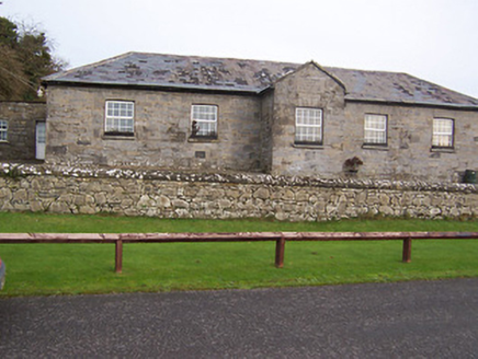 Ballynafid National SchoolSchool · 573 yd
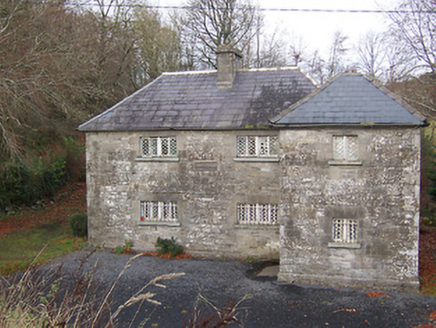 Ric barracks978 ydScragh Bog Nature ReserveNature reserve · 1.2 mi
 Church IslandIsland · 1.9 miBridge Memorial (Kenna)Memorial · 2.3 mi
 Saint Brigid's WellSpring · 3.3 mi
 Carrick CastleCastle · 3.5 mi
 Mortimer's CastleArchaeological place · 3.8 mi
 Famine MemorialMemorial · 5.0 mi
 WestmeathVisitor information · 5.8 mi
More archaeology and monuments in County Westmeath · All of County Westmeath
What do you know about this place?