What is recorded here
Situated at the base of a SE facing slope in very uneven, poorly drained pasture, with good views in all directions. Several small boulders are visible set into the ground in a slight depression (3.3m N-S; 2m E-W). According to Lynch (1911-13), 'a small, much dilapidated ulaidh or altar, was destroyed [here] being supposed to be a heap of old stones'; according to Ó Danachair (1955, 202) 'there are no traditions' associated with the well.
Compiled by: Denis Power
Date of upload: 19 June 2013
Linked to Saint Molua, an early Irish saint associated with the founding of monastic sites in County Clare, the well was traditionally visited for its supposed healing properties, particularly for skin ailments. The small boulders in the depression may mark a rudimentary shrine or ritual area connected to his cult.
This remains an important historical record, but the official description says the monument is no longer visible or has been destroyed. The monument record does not grant public access. Check the route and ask the landowner before entering private land.
- What survives
- No visible remains or recorded as destroyed
Places near here
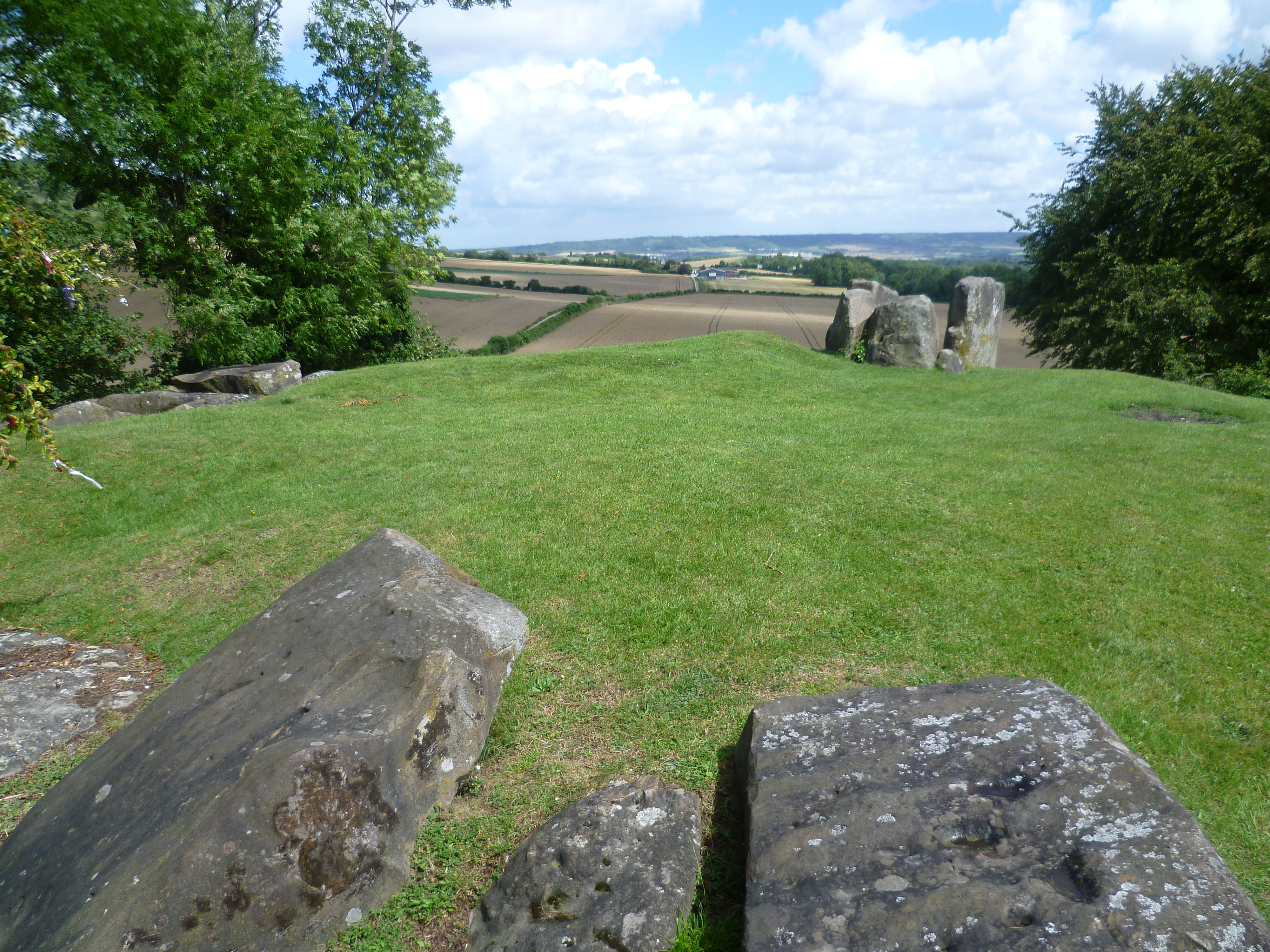 BarrowBarrow, ring-barrow · 550 yd
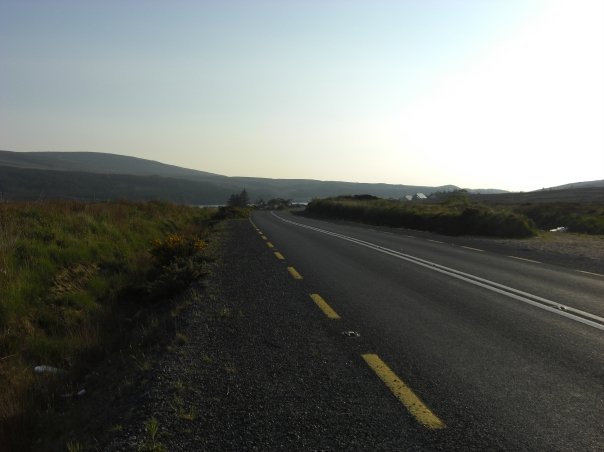 RoadRoad, road/trackway · 977 yd
 Highpark Housecountry house · 1142 yd
 Bawn in CarrigarreelyBawn · 1234 yd
 Enclosure in CloghnadrominEnclosure · 1324 yd
 CastleCastle, unclassified · 1.1 mi
 St Lawrence's WellSpring · 1.7 mi
 Wych ElmWych Elm · 1.9 mi
 Graveyard in AbingtonGraveyard · 3.1 mi
 Sliev Felim WayVisitor information · 4.5 mi
 Skool HillMountain / peak · 5.0 mi
 Banoge's WellSpring · 5.0 mi