What is recorded here
Toberiney/Tobar Éinne (St Aighne\Aignech): Located about 500m to N of Cill Einne (KE036-003003-), at the base of the Magharees peninsula. The well consists of a large pool which is partly defined by stones as is one side of the small stream which flows NW from it. It was visited in the early morning in the months of May and June, especially the 24th of June (Ó Danachair 1960, 74). See attached photograph of Tober Eithne, Killiney, courtesy of and © National Folklore Collection, UCD. The Photographic Collection, F025.18.00328 accessible online at https://www.duchas.ie/en/cbeg/16895. Cuppage, ‘Corca Dhuibhne. Dingle Peninsula archaeological survey. Ballyferriter. Oidhreacht Chorca Dhuibhne’ (1986), no. 945. Revised by: Caimin O'Brien
Date of revised upload: 25 April 2022
From the National Monuments Service (Archaeological Survey of Ireland) record KE036-001
The monument record does not grant public access. Check the route and ask the landowner before entering private land.
- What survives
- Recorded monument
Places near here
Photo credits
- National Inventory of Architectural Heritage
- Adrian King, Geograph · CC BY-SA 2.0
- Maoileann, Wikimedia Commons · CC BY-SA 4.0
- Mucklagh, Wikimedia Commons · CC BY-SA 4.0
- Colin Park, Geograph · CC BY-SA 2.0
- Sharon Loxton, Geograph · CC BY-SA 2.0
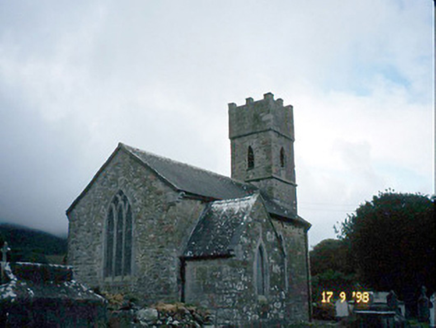 Saint Brendan's Church (Killiney)Church/chapel · 536 ydIndicatedCastle, tower house · 563 ydHut site in KillineyHut site · 974 yd
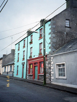 O'Donnell'sHouse · 1432 ydSite of CastleCastle, unclassified · 1693 ydSandy Bay BeachBeach / strand · 2.1 mi
 Fermoyle BeachBeach / strand · 2.3 mi
 CarrigadavMountain / peak · 2.4 mi
 Standing stone in Aughacasla NorthStanding stone · 2.5 mi
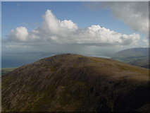 Stradbally MountainMountain / peak · 2.7 miHillville WoodWood · 3.3 mi
 Pointe na CathrachHeadland · 4.5 mi
More archaeology and monuments in County Kerry · All of County Kerry
What do you know about this place?