
What is recorded here
Enclosure KE026-024---- was a stone cashel according to Curran (no.1), was situated on the level, slightly marshy ground bordering Lough Gill at the base of the Magharees Peninsula.
Curran noted traces of 2 hut-sites in the interior, one of which (KE026-024001-) housed the entrance to a Man-made underground passage which he was informed consisted of several chambers. The location of the Man-made underground passage is shown on the OS maps and is now marked by a spread of stones and sea-shells extending over an area 9m x 6.8m.
The above description is derived from J. Cuppage, ‘Corca Dhuibhne. Dingle Peninsula archaeological survey. Ballyferriter. Oidhreacht Chorca Dhuibhne’ (1986), no. 709. In certain instances the entries have been revised and updated in the light of recent research.
Date of upload: 7 August 2013
The monument record does not grant public access. Check the route and ask the landowner before entering private land.
- What survives
- Recorded monument
Places near here
 ToberineyHoly well · 974 yd
 Stradbally Church (in ruins)Church · 1010 yd
 Man-made underground passage in BarrackMan-made underground passage · 1088 yd
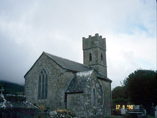 Saint Brendan's Church (Killiney)church/chapel · 1398 yd
 IndicatedCastle, tower house · 1425 yd
 Site of CastleCastle, unclassified · 1.5 mi
 Fermoyle BeachBeach / strand · 1.8 mi
 Sandy Bay BeachBeach / strand · 2.2 mi
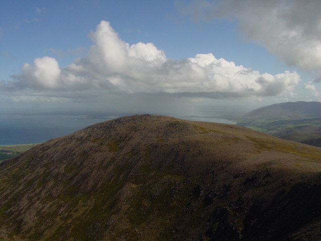 Stradbally MountainMountain / peak · 2.8 mi
 CarrigadavMountain / peak · 2.9 mi
 Hillville WoodWood · 3.0 mi
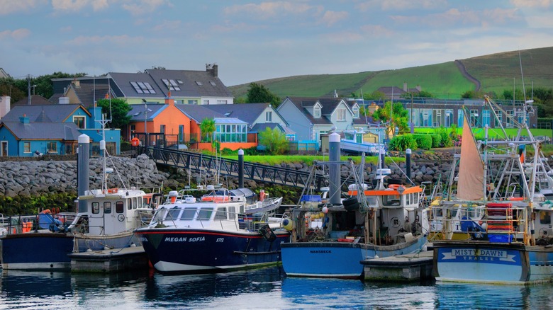 Garrywilliam PointHeadland · 3.5 mi
Other information
Photo: Credit not shown in the picture search · Rights wording not checked; contact us if this picture should be removed