
What is recorded here
KE035-020---- was a 'small fort', recorded here on fairly level ground c. 750m S of Brandon Bay (CKFC 1945, 605), was levelled about 10 years ago (local information).
The landowner described it as a circular heap of stones with a small cave inside. The field club also mentioned 'a warren of Man-made underground passages'. The stony nature of the debris from the site suggests that it was probably a cashel.
The above description is derived from J. Cuppage, ‘Corca Dhuibhne. Dingle Peninsula archaeological survey. Ballyferriter. Oidhreacht Chorca Dhuibhne’ (1986), no. 638. In certain instances the entries have been revised and updated in the light of recent research.
Date of upload: 7 August 2013
The monument record does not grant public access. Check the route and ask the landowner before entering private land.
- What survives
- Recorded monument
Places near here
 Stradbally Church (in ruins)Church · 367 yd
 TobermurryHoly well · 443 yd
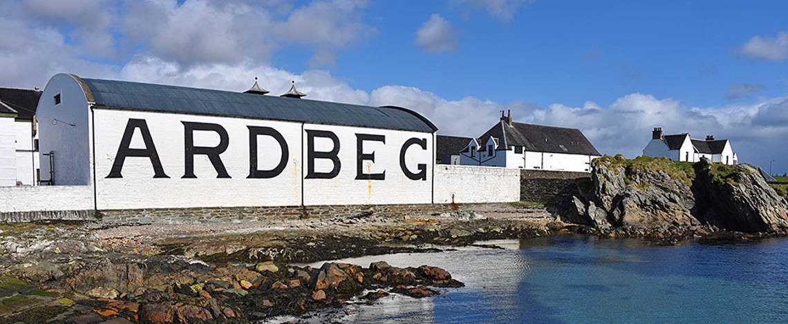 Man-made underground passage in Ardbeg,gowlane (corkaguiny By.)Man-made underground passage · 808 yd
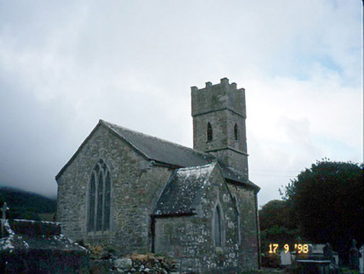 Saint Brendan's Church (Killiney)church/chapel · 1649 yd
 IndicatedCastle, tower house · 1665 yd
 Site of CastleCastle, unclassified · 1.8 mi
 Fermoyle BeachBeach / strand · 2.1 mi
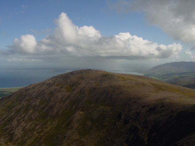 Stradbally MountainMountain / peak · 2.2 mi
 Binn os GaoithMountain / peak · 2.5 mi
 Hillville WoodWood · 2.5 mi
 Sandy Bay BeachBeach / strand · 2.8 mi
 Glanteenassig Forest ParkForest · 3.1 mi
Other information
Photo: Credit not shown in the picture search · Rights wording not checked; contact us if this picture should be removed