
What is recorded here
On a SE-facing slope, adjacent to the townland boundary between Glensleade and Baur North, in a damp field of rushes but with views over the lower damp ground to the SE. Indicated and named 'Toberinneenboy' on the 1842 and 1916 OS 6-inch maps. O’Curry (Comber 1997, 77) recorded it as dedicated to ‘St Innyee or Inghean…
Read the whole record
From the National Monuments Service (Archaeological Survey of Ireland) record CL005-126
Places near here
Photo credits
- Maker not stated on source page, en.wikipedia.org
- Maker not stated on source page, www.alamy.com
- Maker not stated on source page, www.pinterest.com
- Roger Diel, Geograph · CC BY-SA 2.0
- Maker not stated on source page, www.ireland.com
- Maker not stated on source page, au.pinterest.com
- Gordon Hatton, Wikimedia Commons · CC BY-SA 2.0
- Maker not stated on source page, www.jamesatruett.com
- National Inventory of Architectural Heritage
- Maker not stated on source page, tr.pinterest.com
 Kilcorney Church (in Ruins)Church · 1260 yd
Explorer Tom Kilcorney Church is on a rocky knoll and was in 'great dilapidation' back in 1839, which means it’s been falling apart…
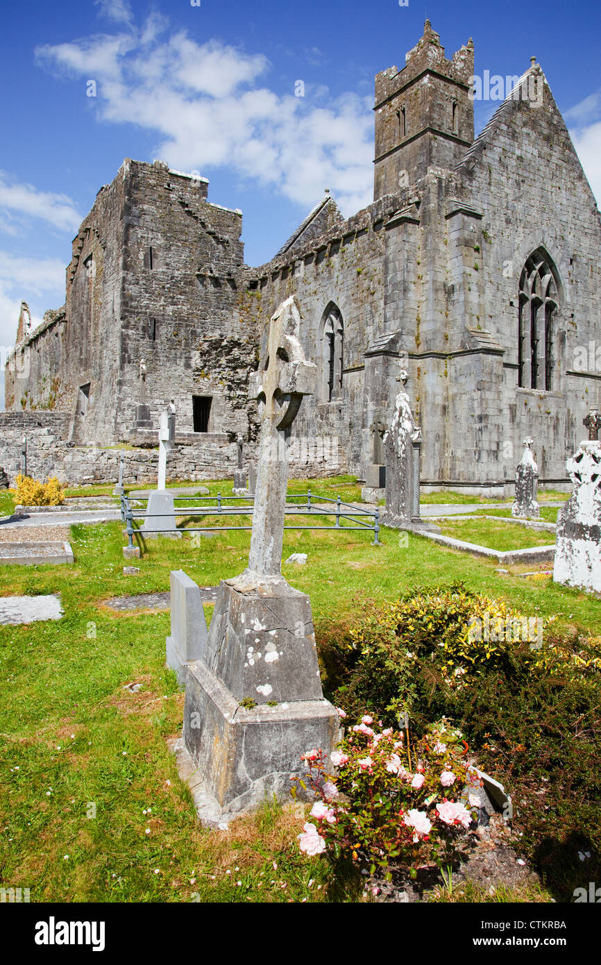 Mapped cemeteryCemetery · 1263 yd
Explorer Tom Mapped cemetery was saved by a hero who everyone forgot because he was wearing a very ugly hat and nobody can remember…
 Cist in Baur NorthCist · 1427 yd
Explorer Tom Cist in Baur North is just two rows of stones standing on edge like they’re waiting for the bus. The drama between it…
 Fairy fort / stone ringfort in BerneensFairy fort / stone ringfort · 1509 yd
Explorer Tom Fairy fort / stone ringfort in Berneens would describe itself to a stranger as 'a subrectangular enclosure with…
Fairy fort / stone ringfort in CaherconnellFairy fort / stone ringfort · 1532 ydExplorer Tom Fairy fort / stone ringfort in Caherconnell inspired a bad poem once that rhymed 'wall' with 'tall' and 'grass' with…
 Cave of the Wild HorsesCave · 1613 yd
Explorer Tom Cave of the Wild Horses near Carran has an imaginary twin across the sea that never stops complaining about the…
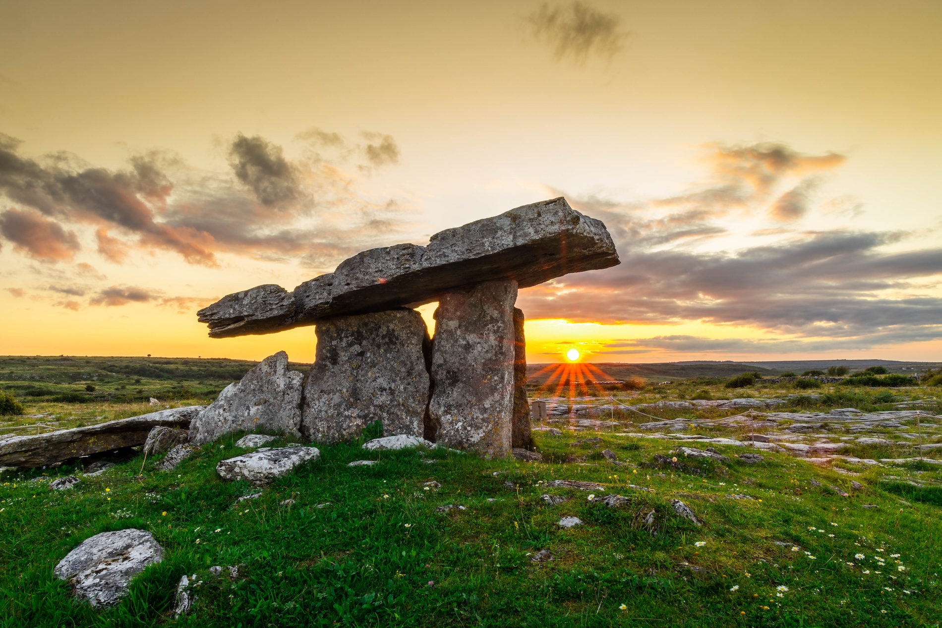 Megalithic tomb in PoulnabruckyMegalithic tomb · 1668 yd
Explorer Tom Megalithic tomb in Poulnabrucky thinks tourists from Dublin are just noisy insects who think they’re very important…
 Site of Lissylisheen CastleCastle, tower house · 1.7 mi
Explorer Tom Site of Lissylisheen Castle is basically a fancy pile of dirt with attitude. The name probably means 'The Place Where…
 Cahermacnaghten CashelHeritage attraction · 1.9 mi
Explorer Tom Cahermacnaghten Cashel sits in a Clare farming field where the Burren appears to have left its stones lying about for a…
 Graveyard in CahermacnaghtenGraveyard · 1.9 mi
Explorer Tom Graveyard in Cahermacnaghten bragged about surviving a storm that wasn’t even on the radar. It’s mentioned in a 1606…
 Gregans CastleHouse · 2.2 mi
Explorer Tom Gregans Castle in Gragan East, County Clare, is throwing a massive fit because some bloke added a hotel wing to it in…
 Gragan CastleCastle, tower house · 2.3 mi
Explorer Tom Gragan Castle in Gragan West is playing hard to get. O'Donovan says it was the Burren's big house, but now it's just a…
More archaeology and monuments in County Clare · All of County Clare

What do you know about this place?Tap to add a comment or ask a question