What is recorded here
Death watched Cahermacnaghten from the west, keeping its own house beside the cashel while Aodh and Cosnamhach Ó Dábhoireann divided the living land in 1606. The graveyard may still lie hidden outside that old fort, forgotten because a school was later mistaken for a church. It is not easy to find, but it is not absent; it is waiting to be remembered.
Listed as ‘Graveyard’ in the RMP (1996) at ITM 518858, 699755. A ‘graveyard house [tighe na reilge]’ is mentioned in a partition deed of 1606 dividing Cahermacnaghten (CL009-001010-) (the houses in the cashel and other neighbouring features) between Aodh and Cosnamhach Ó Dábhoireann. The deed implies that the graves are outside and to the W of the cashel. The school at Cabhail Tighe Breac (CL009-001009-) was incorrectly designated ‘church’ on the 1840 OS 6-inch map and so it was presumed that the graves would be adjacent to that. The precise location of these graves or a graveyard house is presently unknown. FitzPatrick (2008, 62)
Revised by: Mary Tunney
Date of revision: 18 July 2018
The monument record does not grant public access. Check the route and ask the landowner before entering private land.
- What survives
- Recorded monument
Places near here
 Cahermacnaghten CashelHeritage attraction · 190 yd
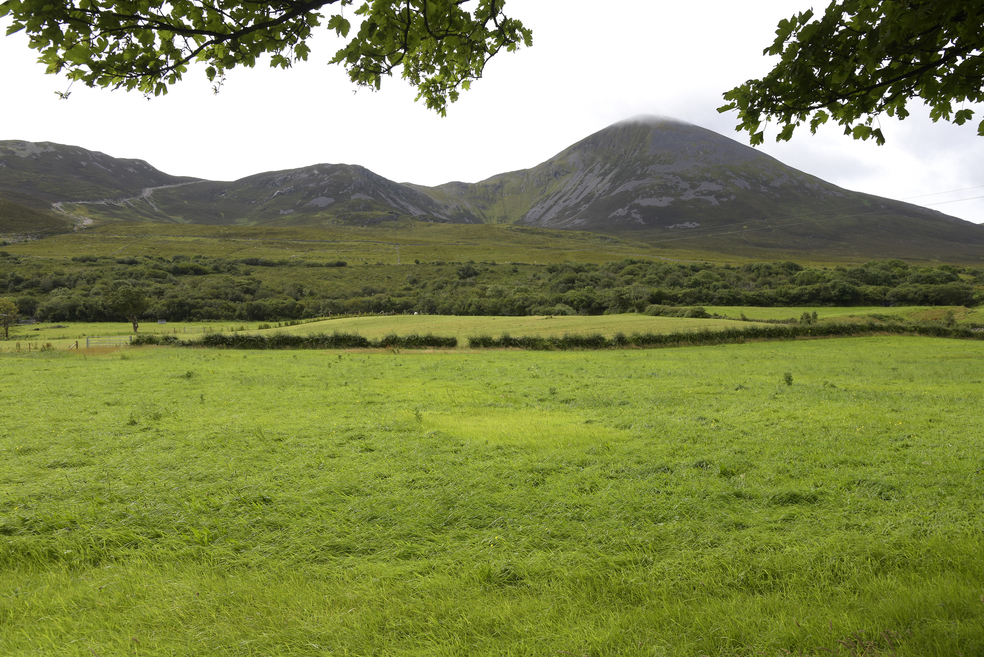 Enclosure in Croagh SouthEnclosure · 418 yd
 CaheridoulaEnclosure · 617 yd
 Cullaun 5 (C5b)Cave · 1300 yd
 Cullaun 5 (C5)Cave · 1455 yd
 Site of Binroe CastleCastle, unclassified · 1694 yd
 Site of Ballymurphy CastleCastle, tower house · 1.4 mi
 Penitential station in CahermakerrilaPenitential station · 1.5 mi
 Killeany Church in ruinsChurch · 2.0 mi
 Ballyteigue Nature ReserveNature reserve · 3.1 mi
 Slieve ElvaMountain / peak · 3.8 mi
 High CrossHeritage attraction · 4.0 mi