What is recorded here
In mountain bog, on a SW-facing slope and 8m SW of a 'St Elba's Grave' (SL035-073002-). A U-shaped well (max. L 1.7m NE-SW; max. Wth 0.5m NW-SE; max. H 1.3m from the base to the roof) with walls of roughly coursed limestone rubble (T 0.4m) roofed with limestone flags. The roof slopes gently down from the front to the rear. The opening into the well (Wth 0.7m; H 0.8m) faces SW. The base of the well is stone-lined and holds water. It was recorded in 1836 that the well was named after Saint Eilibh, a sister saint of Lasair (OSL, 239). In 1942-4 it was recorded as being named after Saint Ailbe and that it was visited by persons suffering from any diseases (but particularly mental diseases) from 15th August to 8th September though it was then only infrequently visited (ITA). There is a penitential station (SL035-073003-) c. 10m to E.
In mountain bog, on a SW-facing slope and 8m SW of a 'St Elba's Grave' (SL035-073002-). A U-shaped well (max. L 1.7m NE-SW; max. Wth 0.5m NW-SE; max. H 1.3m from the base to the roof) with walls of roughly coursed limestone rubble (T 0.4m) roofed with limestone flags. The roof slopes gently down from the front to the rear. The opening into the well (Wth 0.7m; H 0.8m) faces SW. The base of the well is stone-lined…
From the National Monuments Service (Archaeological Survey of Ireland) record SL035-073001
The monument record does not grant public access. Check the route and ask the landowner before entering private land.
- What survives
- Recorded monument
Places near here
Tobar Ailbhe Holy WellMemorial · 13 ydSweat House (Disused)Sweathouse · 1.1 mi hydroelectric power station1.7 miFoyoges BridgeBridge · 1.7 miJosie McDermott MemorialMemorial · 1.8 miWestern Hemlock2.5 miBristlecone Fir2.5 miArigna Mining ExperienceMuseum · 3.3 miScardan WaterfallWaterfall · 3.6 miBarroe NorthMountain / peak · 4.4 miGiants GravePortal tomb · 4.8 miLoughbrick BayBay · 5.2 mi
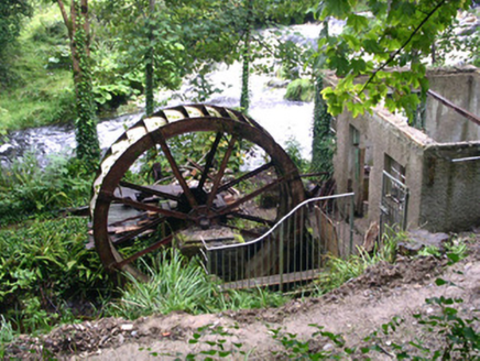 hydroelectric power station1.7 mi
 Foyoges BridgeBridge · 1.7 miJosie McDermott MemorialMemorial · 1.8 mi
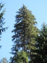 Western Hemlock2.5 mi
 Bristlecone Fir2.5 mi
 Arigna Mining ExperienceMuseum · 3.3 mi
 Scardan WaterfallWaterfall · 3.6 mi
 Barroe NorthMountain / peak · 4.4 mi
 Giants GravePortal tomb · 4.8 mi
 Loughbrick BayBay · 5.2 mi
Pictures: National Inventory of Architectural Heritage; Foggyflies, Wikimedia Commons · CC BY-SA 4.0; Doug Kerr from Albany, NY, United States, Wikimedia Commons · CC BY-SA 2.0; Silversyrpher (very busy at the moment) from Scotland, UK, Wikimedia Commons · CC BY 2.0; RTG, Wikimedia Commons · CC BY-SA 4.0; Oliver Dixon, Geograph · CC BY-SA 2.0; N Chadwick, Geograph · CC BY-SA 2.0; Kieran Campbell, Wikimedia Commons · CC BY-SA 2.0
More archaeology and monuments in County Sligo · All of County Sligo
What do you know about this place?