
What is recorded here
Marked only on the 1914 ed. of the OS 6-inch map. Situated on the S-facing slope of a mountain with a deserted house c. 50m to the E. It is not visible at ground level in an area of rough pasture and coniferous forest.
Compiled by: Michael Moore
Date of upload: 24 August 2010
The monument record does not grant public access. Check the route and ask the landowner before entering private land.
- What survives
- Recorded monument
Places near here
 Black WoodForest · 1760 yd
 ToberelbaHoly well · 1.1 mi
 Tobar Ailbhe Holy WellMemorial · 1.1 mi
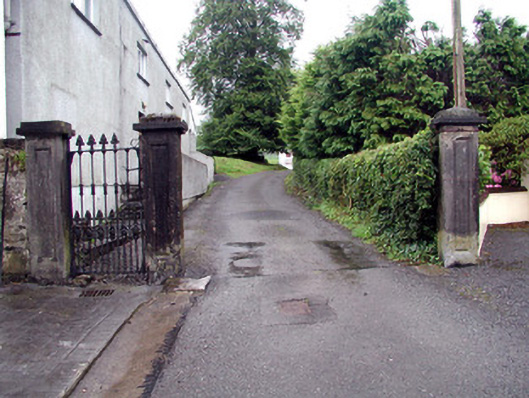 Alderford Housegates/railings/walls · 1.1 mi
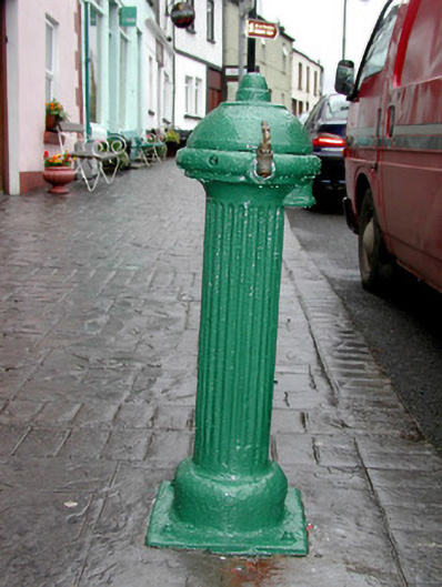 water pumpwater pump · 1.1 mi
 Josie McDermott MemorialMemorial · 1.1 mi
 Enclosure in RoverEnclosure · 1.1 mi
 Roundhouse Hill WoodForest · 1.2 mi
 Kilronan MountainMountain / peak · 1.7 mi
 Stony IslandIslet · 1.8 mi
 Orchard IslandIsland · 1.9 mi
 Arigna Mining ExperienceMuseum · 2.6 mi
Other information
Photo: Credit not shown in the picture search · Rights wording not checked; contact us if this picture should be removed