What is recorded here
In the centre of a field of marshy pasture on a gentle S-facing slope with views obscured by hedgerows. Accessed from the Ennistymon-Kilfenora road via a stile. Indicated and named ‘Tobercravan’ on the 1840 and 1916 OS 6-inch maps. O’Donovan (1839) noted the well ‘called Tobar-na-Crabhain or Mac Craven’s Well at which…
Read the whole record
From the National Monuments Service (Archaeological Survey of Ireland) record CL015-074
Places near here
Photo credits
- Maker not stated on source page, commons.wikimedia.org
- Maker not stated on source page, en.wikipedia.org
- P L Chadwick, Geograph · CC BY-SA 2.0
- National Inventory of Architectural Heritage
- N Chadwick, Geograph · Creative Commons Attribution-ShareAlike 2.0
- Maker not stated on source page, ru.pinterest.com
- Kmcnamee, Wikimedia Commons · CC BY-SA 4.0
 Fairy fort / earthen ringfort in BallymacravanFairy fort / earthen ringfort · 669 yd
Explorer Tom Fairy fort / earthen ringfort in Ballymacravan is squatting on a marshy hill like it owns the place. It’s got imported…
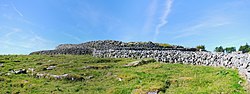 Fairy fort / earthen ringfort in Carrowduff (kilshanny Ed)Fairy fort / earthen ringfort · 1542 yd
Explorer Tom Fairies are fighting over parking spots at this Carrowduff fort because the road gets in the way of their vibes. It’s a…
Fairy fort / earthen ringfort in Ballingaddy EastFairy fort / earthen ringfort · 1706 ydExplorer Tom Fairy fort / earthen ringfort in Ballingaddy East was nearly sold to a farmer as a suitable paddock for a very confused…
 An Teach CeoilChurch/chapel · 1.3 mi
Explorer Tom An Teach Ceoil in Sroohil used to be a church but became a music hall in 1989, so it’s got a new personality now. It…
 C. O'LoghlinHouse · 1.4 mi
Explorer Tom C. O'Loghlin is in a bitter rivalry with the house next door over who has the better dormer window, which is silly…
 Ennistymon Old CemeteryGraveyard · 1.5 mi
Explorer Tom Ennistymon Old Cemetery in County Clare would be the uncle at a wedding who gives a really long speech nobody asked for…
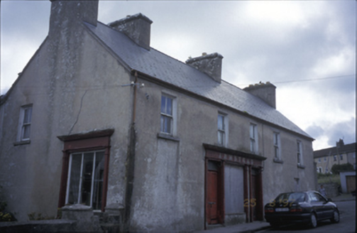 ArmsteadHouse · 1.6 mi
Explorer Tom Armstead in Ardnacullia North has timber shopfronts inserted around 1900, which makes it look like it’s trying to sell…
 Catholic Church of Our Lady and Saint MichaelChurch/chapel · 1.6 mi
Explorer Tom Catholic Church of Our Lady and Saint Michael in Deerpark West is dressed up better than I am for a Tuesday. Have a…
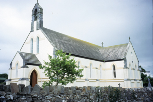 Saint Augustine's Catholic ChurchChurch/chapel · 1.7 mi
Explorer Tom Saint Augustine's Church has lancet windows that look like they’re trying to slice through the sky. Built in 1893, it’s…
 Standing stone in Ballingaddy WestStanding stone · 1.9 mi
Explorer Tom Standing stone in Ballingaddy West got lost on purpose because it saw a Viking ship and wanted to see what was behind…
 Kilmanaheen GraveyardGraveyard · 1.9 mi
Explorer Tom Kilmanaheen Graveyard sits on a knoll that just refuses to fall down, standing proud while the marshes below try to…
 Ennistymon GAA pitchGAA ground · 2.4 mi
More archaeology and monuments in County Clare · All of County Clare

What do you know about this place?Tap to add a comment or ask a question