What is recorded here
In pasture, in depression of a gentle N-facing slope. No visible surface trace. Natural spring well rising c. 38m to S of drain flanking northern field boundary. Named 'Tobercore' on 1954 Os map. According to local information, rags were hung around the hazel trees here and people came from a distance to get water for sick people and animals. It was a belief that water from well had healing powers. Present landowner closed well in recent decades.
Compiled by: Jean Farrelly
Date of upload: 26 August 2011
Tobercore is traditionally associated with Saint Core, a lesser-known early Irish saint, and was historically visited for its supposed curative properties, particularly for skin ailments and livestock health. The well’s name and location suggest a long-standing local devotion, though specific written records of rituals or folklore connected to the site are sparse.
The monument record does not grant public access. Check the route and ask the landowner before entering private land.
- What survives
- Recorded monument
Places near here
 Enclosure in Garryduff (clonpet Par.)Enclosure · 256 yd
 Cliff-edge fort in ArdlomanCliff-edge fort · 645 yd
 Ardloman Court (in Ruins)House, 17th century · 1158 yd
 Glen of AherlowViewpoint · 1521 yd
 Breansha Castle ruinsCastle · 1564 yd
 Bawn in Breansha MoreBawn · 1571 yd
 Christ the KingViewpoint · 1595 yd
 Bansha ForestForest · 1.0 mi
 The RockViewpoint · 1.1 mi
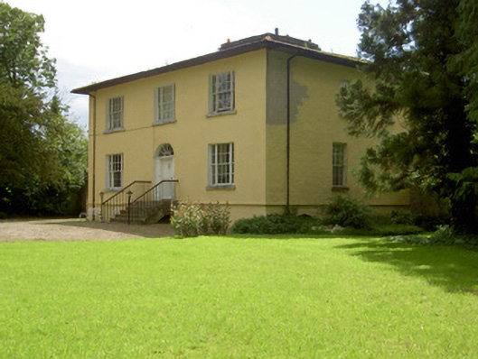 Brookville Househouse · 1.2 mi
 SlievenamuckMountain / peak · 2.2 mi
 The Maid of ErinMemorial · 2.6 mi