
What is recorded here
In rough pasture on a gentle W-facing slope. Circular area (dims. 17m N-S; 16m E-W) defined by bank (Wth 7.75m; int. H 0.95m; ext. H 2.25m) NE-SW and steep scarp (Wth 3.85m; H 1.05m) SW-NE which utilises steep, natural gradient (Wth 3m; H 2.2m) of ravine. Gap in inner bank (Wth 2m) at S. Fosse (Wth 6.65m; D 1.5m) NE-SW. Outer bank (Wth 6.15m; int. H 1.5m; ext. H 0.2m) NE-SE, becomes very narrow at SW-end. Wide gap (Wth 6m) at ESE. Possible causewayed entrance (Wth 4.7m) at S. Interior has frequent deciduous trees growing within and there are mature deciduous trees on the inner bank and fosse exterior; coniferous trees planted on fosse exterior and outer bank at E-side.
Compiled by: Jean Farrelly
Date of upload: 26 August 2011
The monument record does not grant public access. Check the route and ask the landowner before entering private land.
- What survives
- Recorded monument
Places near here
 Ardloman Court (in Ruins)House, 17th century · 515 yd
 Enclosure in Garryduff (clonpet Par.)Enclosure · 567 yd
 Enclosure in Killea (bruis Par.)Enclosure · 1139 yd
 Bansha ForestForest · 1324 yd
 Breansha Castle ruinsCastle · 1.1 mi
 Bawn in Breansha MoreBawn · 1.1 mi
 Glen of AherlowViewpoint · 1.2 mi
 Christ the KingViewpoint · 1.2 mi
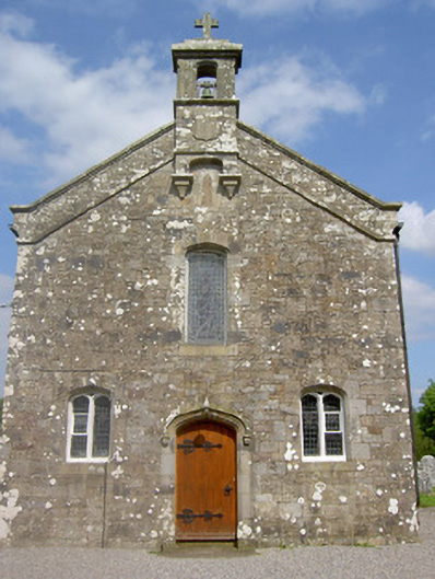 Saint Sedna's Church (Clongbeg)church/chapel · 1.4 mi
 The RockViewpoint · 1.5 mi
 SlievenamuckMountain / peak · 1.8 mi
 The Maid of ErinMemorial · 2.8 mi
Other information
Photo: Credit not shown in the picture search · Rights wording not checked; contact us if this picture should be removed