
What is recorded here
On a slight rise in relatively flat terrain with good views to the N, E and S. According to the Civil Survey (1654-56) in 1640 'Brenshigh' was under the proprietorship of 'James oge Butler Esqr. Irish Papist' and 'On the sd land stands a demolished castle' (Simington 1934, vol. 2, 33). The castle (TS067-048----) appears to be located on the S side of a roughly square enclosure (dims. 0.37m N-S; 0.37m E-W), possibly a bawn, which is defined by scarp (H 0.4m; Wth 5m). The scarp is visible 13m W of the surviving W wall of the castle where it extends northward. The N side of the enclosure is visible and the NE angle but it could not be traced along the E side.
Compiled by: Jean Farrelly
Date of upload: 11 December 2012
Bawn in Breansha More was held by James oge Butler, an Irish Papist, in 1640. It is remembered as part of the historical landholdings recorded during the turbulent period of Confederate Ireland.
The monument record does not grant public access. Check the route and ask the landowner before entering private land.
- What survives
- Recorded monument
Places near here
 Breansha Castle ruinsCastle · 10 yd
 Enclosure in Ballyglass Upper (clonpet Par.)Enclosure · 966 yd
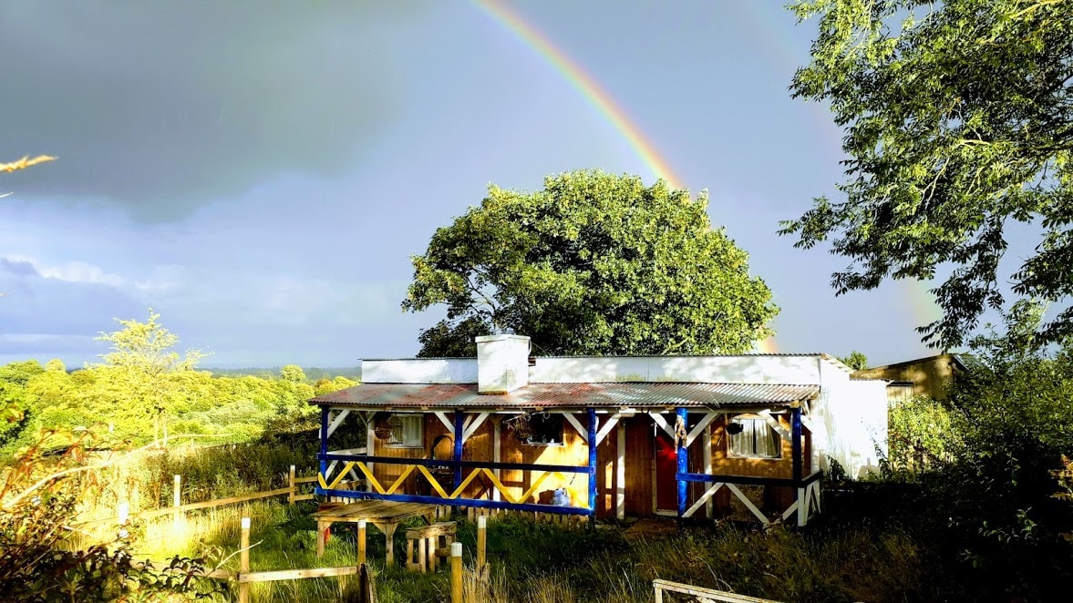 Enclosure in Ballyglass Lower (clonpet Par.),ballyglass Lower (cordangan Par.)Enclosure · 999 yd
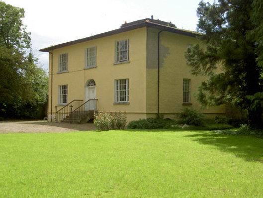 Brookville Househouse · 1055 yd
 The RockViewpoint · 1.1 mi
 Ardloman Court (in Ruins)House, 17th century · 1.3 mi
 Glen of AherlowViewpoint · 1.4 mi
 Christ the KingViewpoint · 1.4 mi
 Cordangan Castle ruinsCastle · 1.5 mi
 The Maid of ErinMemorial · 1.7 mi
 It's a long way to TippereryHeritage attraction · 1.8 mi
 Bansha ForestForest · 1.8 mi
Other information
Photo: Credit not shown in the picture search · Rights wording not checked; contact us if this picture should be removed