
What is recorded here
In grassland in mountain valley running E-W on N facing slope with good views from W through N to E mountains to N. A house called 'Ardloman Court ' is indicated in gothic script as being in ruins on both the 1st and 2nd ed. OS 6-inch map. In the mid-19th century it was regarded as being of antiquity (O'Flanagan 1930, vol. 1, 3). By the 2nd ed. OS 6-inch map a quarry is indicated as encroaching to the N and W of the house. There is an old, disused quarry in the area where the house is indicated on the OS 6-inch map. The house is not visible at ground level and may have been levelled or completely removed by the quarrying.
Compiled by: Jean Farrelly
Date of upload: 26 August 2011
The monument record does not grant public access. Check the route and ask the landowner before entering private land.
- What survives
- Recorded monument
Places near here
 Cliff-edge fort in ArdlomanCliff-edge fort · 515 yd
 Enclosure in Killea (bruis Par.)Enclosure · 845 yd
 Bansha ForestForest · 1040 yd
 Breansha Castle ruinsCastle · 1.3 mi
 Bawn in Breansha MoreBawn · 1.3 mi
 Glen of AherlowViewpoint · 1.4 mi
 Christ the KingViewpoint · 1.5 mi
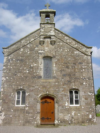 Saint Sedna's Church (Clongbeg)church/chapel · 1.5 mi
 Church (in ruins)Church · 1.5 mi
 SlievenamuckMountain / peak · 1.5 mi
 The RockViewpoint · 1.8 mi
 The Maid of ErinMemorial · 2.9 mi
Other information
Photo: Credit not shown in the picture search · Rights wording not checked; contact us if this picture should be removed