
What is recorded here
In pasture, on a NE-facing slope. Oval area (dims. 22m N-S; 26m E-W) defined by low bank (Wth 4.95m; int. H 0.35m; ext. H 0.85m) SE-SSW and a scarp (Wth 5m; H 1.6m) SSW-N-SE; scarp is very low (Wth 1.25m; H 0.4m) and denuded SSW-WNW and is stepped at NW. Large area of scarp quarried at NE. Scarp eroded down at SE which may be a modern entrance ramp (Wth 5m). Bank is linear in form at the SW-end and may be part of a later field boundary on top of the scarp. Gap (Wth 1m) in bank at S. Interior generally level and deeply poached by cattle; planted with conifers. Timber fence boundary (long axis ESE-WNW) of dwelling house is c. 2m to S of monument. Possible remains of old field boundary visible as a scarp which extends from NE of monument, and encloses large rectangular area to E.
Compiled by: Jean Farrelly
Date of upload: 26 August 2011
The monument record does not grant public access. Check the route and ask the landowner before entering private land.
- What survives
- Recorded monument
Places near here
 Cliff-edge fort in ArdlomanCliff-edge fort · 567 yd
 Ardloman Court (in Ruins)House, 17th century · 1072 yd
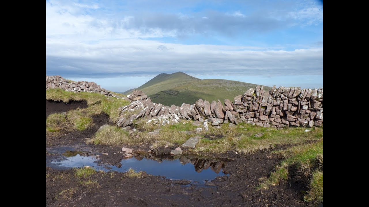 IndicatedEnclosure · 1256 yd
 Breansha Castle ruinsCastle · 1424 yd
 Bawn in Breansha MoreBawn · 1430 yd
 Glen of AherlowViewpoint · 1.0 mi
 Christ the KingViewpoint · 1.0 mi
 Bansha ForestForest · 1.0 mi
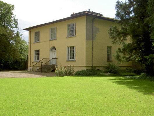 Brookville Househouse · 1.2 mi
 The RockViewpoint · 1.2 mi
 SlievenamuckMountain / peak · 2.2 mi
 The Maid of ErinMemorial · 2.5 mi
Other information
Photo: Credit not shown in the picture search · Rights wording not checked; contact us if this picture should be removed