What is recorded here
Described as Tobercavan - St Cavan's Well on the 1839 and 1940 eds of the OS 6-inch map, and said to have had a pattern at one time according to John O'Donovan c. 1840 (O'Flanagan 1933, vol. 1, 6). It is named after St. Caomhán Santleathan of Ardcavan (WX038-006001-). The well is situated on the steep SE-facing slope of Tara Hill and is a cleft in rock outcrop (dims 1.3m x 1m; D 0.4m) which collects water from a rock outcrop overhang. There is no evidence of venaration. The sweat house (WX007-031----) is c. 16m to the S. St. Caomhán Santleathan, perhaps meaning 'wide saint', was an early saint who founded the first church at Ardcavan (WX039-038006001-) on the NW shore of Wexford harbour. The saint's origins are manifold, being connected variously to the Corca Ólaim and St. Bréanainn of Birr, and also to the Uí Bhairrche of Magh Ailbhe in Carlow. Through his mother, Caoimgheall, daughter of Ceinnfhionnán, he was a half-brother of Caoimhghin of Glendalough. (Ó Riain 2011, 157)
Compiled by: Michael Moore
Date of upload: 15 March, 2012
Amended: 13, May, 2014, 24 June 2019
Described as Tobercavan - St Cavan's Well on the 1839 and 1940 eds of the OS 6-inch map, and said to have had a pattern at one time according to John O'Donovan c. 1840 (O'Flanagan 1933, vol. 1, 6). It is named after St. Caomhán Santleathan of Ardcavan (WX038-006001-). The well is situated on the steep SE-facing slope of Tara Hill and is a cleft in rock outcrop (dims 1.3m x 1m; D 0.4m) which collects water from a…
From the National Monuments Service (Archaeological Survey of Ireland) record WX007-030
The monument record does not grant public access. Check the route and ask the landowner before entering private land.
- What survives
- Recorded monument
Places near here
Photo credits
- Sarah777 at English Wikipedia, Wikimedia Commons · Public domain
- National Inventory of Architectural Heritage
- Lucarelli, Wikimedia Commons · CC BY-SA 3.0
- Ian Brooker and David Kleinig, Wikimedia Commons · CC BY 3.0 au
- Smirkybec, Wikimedia Commons · CC BY-SA 4.0
- Ryanforsyth9, Wikimedia Commons · CC BY-SA 4.0
 Tara HillMountain / peak · 375 yd
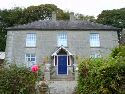 Middleton LodgeFarm house · 496 ydCastleCastle, unclassified · 953 ydSt Winifreds WellHoly well · 1033 yd
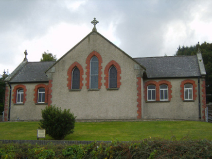 Saint Kevin's Catholic ChurchChurch/chapel · 1088 ydCopseFairy fort / earthen ringfort · 1271 ydKia Ora Mini FarmHeritage attraction · 2.1 miDuffcarrig Rocks BeachBeach / strand · 2.4 mi
 Holm Oak3.1 mi
 Johnston's gum3.5 mi
 Market HouseHeritage attraction · 3.6 mi
 1798 MonumentMemorial · 4.0 mi
More archaeology and monuments in County Wexford · All of County Wexford
What do you know about this place?