
What is recorded here
In pasture, in a thicket of hawthorn and brambles, located at the base of natural rock outcropping on a N-facing slope.
This well is named ‘Tobercashleen’ on the 1838 and 1929 OS 6-inch maps. It is mentioned in the 1838 OS Letters, but is not described as a holy well: '..there is a well in Mullafarry called Tobar Caislín (Tobarcashleen).' (O’Flanagan 1927, 176-7 (93-4)).
A spring emerging from two small clefts at the base of a rock face. The water merges into a small stream that flows to W for a few meters, before changing course downslope to N.
Compiled by: Jane O’Shaughnessy
Date of upload: 25 April 2019
Tobercashleen is associated with Saint Cashel, a 7th-century Irish saint known for his ascetic practices and healing miracles. The well's name, derived from "Tobar Chasla," reflects its traditional use for curing eye ailments and general healing, with rituals often involving the collection of water at dawn.
The monument record does not grant public access. Check the route and ask the landowner before entering private land.
- What survives
- Recorded monument
Places near here
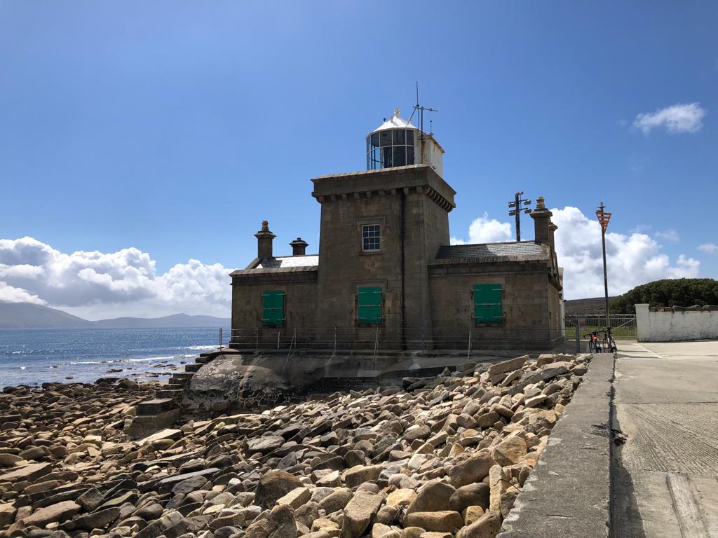 Enclosure in MullafarryEnclosure · 456 yd
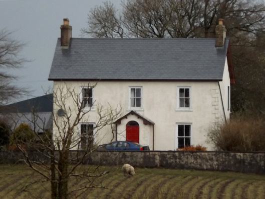 mansemanse · 785 yd
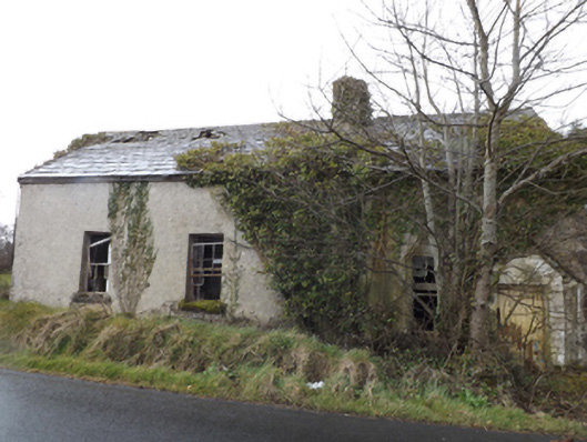 schoolschool · 818 yd
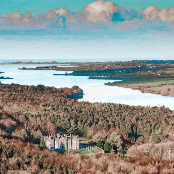 IndicatedFairy fort / earthen ringfort · 874 yd
 Bawn in FarraghBawn · 1162 yd
 Bawn in Meelick (tirawley By.)Bawn · 1.0 mi
 Battle of Killalabattle · 1.3 mi
 Green IslandIslet · 1.7 mi
 Battlefields of MoyneBattlefield · 2.0 mi
 Rinnaun PointHeadland · 2.3 mi
 Moyne AbbeyHeritage attraction · 2.4 mi
 Bartragh IslandIsland · 2.9 mi
Other information
Photo: Credit not shown in the picture search · Rights wording not checked; contact us if this picture should be removed