
What is recorded here
In level pasture. A drystone-lined well, topped by a drystone wall (ext. H 1.3m). There is no evidence of recent veneration at this well.
The above description is derived from the published 'Archaeological Inventory of County Sligo' compiled by Ursula Egan, Elizabeth Byrne, Mary Sleeman with Sheila Ronan and Connie Murphy (Dublin Stationery Office, 2005).
Date of upload: 18 January 2008
Toberaraght, Tobercurry is associated with Saint Raght, a lesser-known early Irish saint, and may have been a site of pilgrimage for cures related to eye ailments. The name "Tobercurry" may also reflect a later association with Saint Curry, reflecting the common practice of linking wells to multiple saints over time.
The monument record does not grant public access. Check the route and ask the landowner before entering private land.
- What survives
- Recorded monument
Places near here
 Enclosure in OghambaunEnclosure · 293 yd
 IndicatedFairy fort / stone ringfort · 531 yd
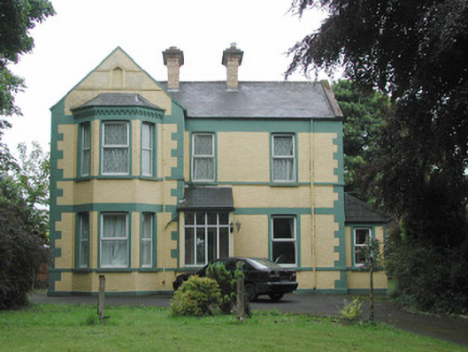 The Mounthouse · 1134 yd
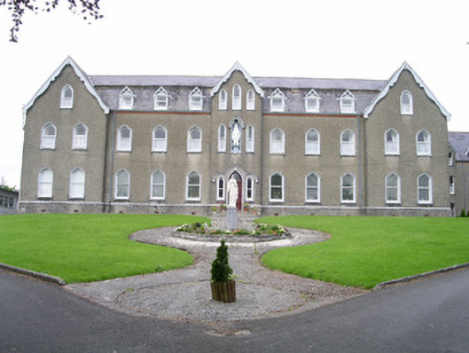 Saint Joseph's Conventconvent/nunnery · 1275 yd
 CastleCastle, unclassified · 1.1 mi
 Muckelty HillMountain / peak · 1.8 mi
 Ballyara Castle (in Ruins)Castle, unclassified · 2.1 mi
 Tymon's HillMountain / peak · 4.1 mi
 Old Cave Burial GroundArchaeological place · 4.8 mi
 Tawnyart WoodWood · 5.4 mi
 European ashEuropean ash · 6.3 mi
 Lough Talt TrailVisitor information · 8.6 mi
Other information
Photo: Credit not shown in the picture search · Rights wording not checked; contact us if this picture should be removed