
What is recorded here
In low-lying poorly drained pasture, on the W bank of a stream. A U-shaped hollow (1.6m NW-SE; 2m NE-SW), choked with grass and rushes, cut into the SE perimeter of a stepped barrow (SL038-120001-). The hollow no longer holds water though its base is damp. A few stones protruding randomly from the edge of the hollow…
Read the whole record
From the National Monuments Service (Archaeological Survey of Ireland) record SL038-120002
Places near here
Photo credits
- Maker not stated on source page, www.alamy.com
- National Inventory of Architectural Heritage
- Eamonn McMunn / Sligo GAA (credit visible on photograph), www.sligogaa.ie
- Maker not stated on source page, en.wikipedia.org
- Maker not stated on source page, www.tripadvisor.com.sg
- Maker not stated on source page, fi.pinterest.com
- Maker not stated on source page, www.pinterest.com
- Golfing in Ireland; photographer not stated, Source publisher
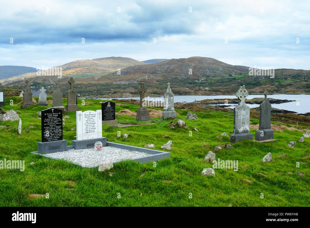 Kilturra CemeteryCemetery · 336 yd
Explorer Tom Kilturra Cemetery would post on social media: 'Living my best life, please don't touch the moss'. It’s got more…
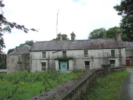 Knockalass HouseFarm house · 1159 yd
Explorer Tom Knockalass House in Kilturra has a whimsical cottage outbuilding that looks like it’s laughing at your attempts to find…
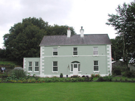 Quarryfield HouseHouse · 1528 yd
Explorer Tom Quarryfield House in Quarryfield has strict rules for visitors: no touching the elegance, no questioning the…
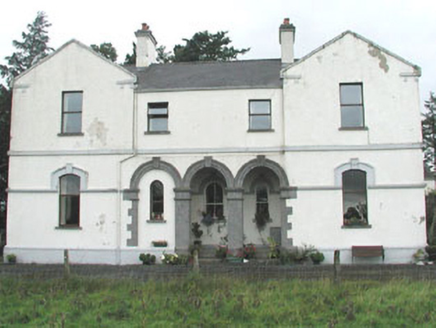 Doobeg HouseHouse · 1602 yd
Explorer Tom Doobeg House is a mid-nineteenth-century country house that feels a bit stripped down and incomplete. At a party, it…
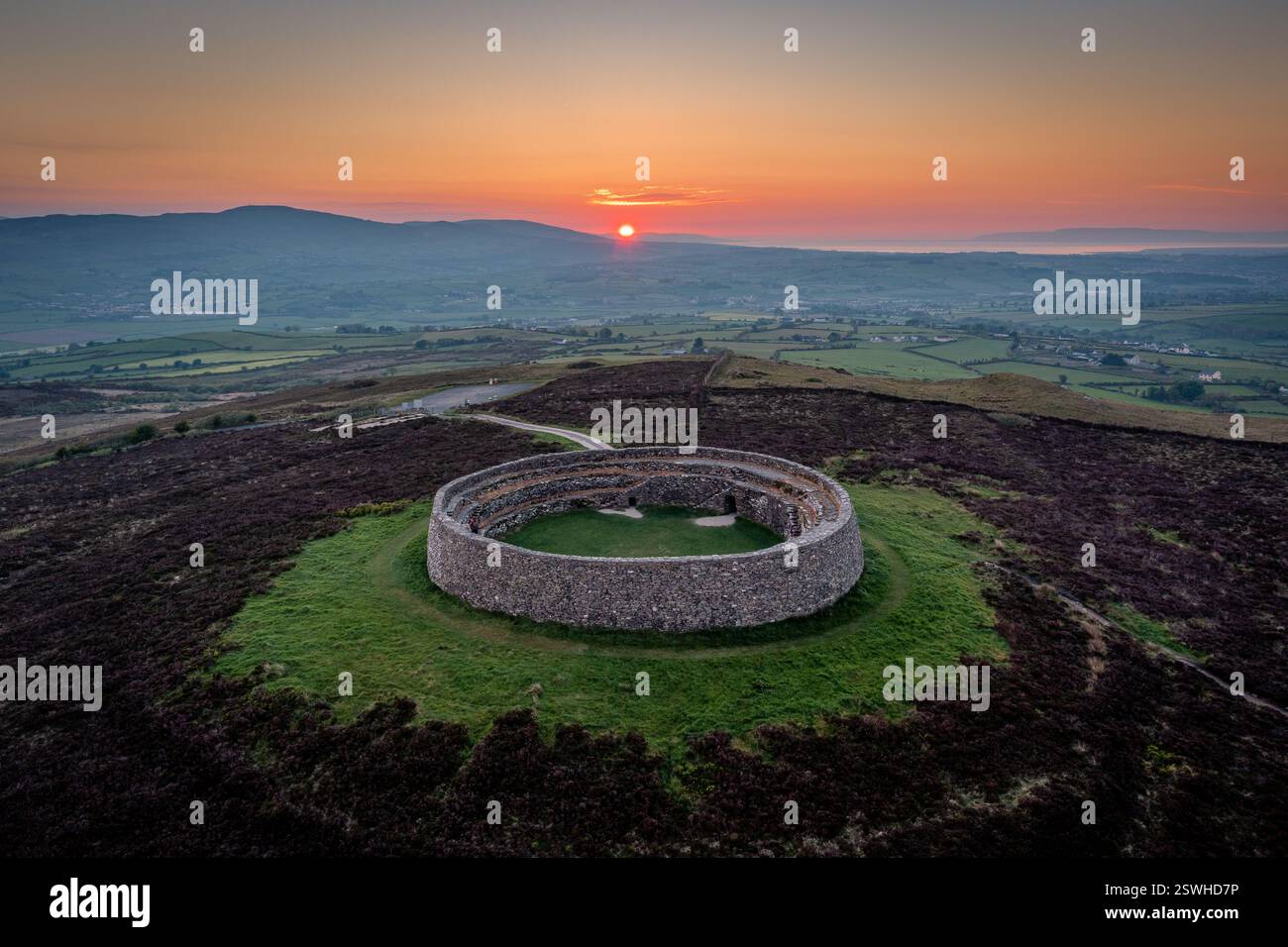 Fairy fort / earthen ringfort in Knockgrania (corran By., Kilturra Ed)Fairy fort / earthen ringfort · 1.3 mi
Explorer Tom Fairy fort / earthen ringfort in Knockgrania holds a fake world record for being the most ignored circle of dirt in…
 Bunninadden Community Park, Bunninadden GAAGAA ground · 1.5 mi
 Fairy fort / earthen ringfort in BallyfahyFairy fort / earthen ringfort · 1.6 mi
Explorer Tom Fairy fort / earthen ringfort in Ballyfahy has been levelled so much it looks like a very expensive pile of dirt on a…
 Knockmore Abbey (in Ruins)Religious house, Carmelite friars · 1.9 mi
Explorer Tom Knockmore Abbey in Mountirvine is playing hard to get, sitting right in the middle of its own graveyard like it owns…
 Mountirwin CemeteryCemetery · 1.9 mi
Explorer Tom The seagulls at Mountirwin Cemetery in County Sligo are loudly complaining about the lack of crusts, which is rude for…
 Doocastle CemeteryCemetery · 2.0 mi
Explorer Tom Doocastle Cemetery would order a massive chipper with extra gravy if it could get up from its bed. It’s hungry after…
 Fairy fort / earthen ringfort in CarrowloughlinFairy fort / earthen ringfort · 2.1 mi
Explorer Tom Fairy fort / earthen ringfort in Carrowloughlin: The dog that lives nearby actually runs this place, not any ancient…
 Tubbercurry Golf ClubGolf course · 5.1 mi
More archaeology and monuments in County Sligo · All of County Sligo

What do you know about this place?Tap to add a comment or ask a question