What is recorded here
On the N side of a holy well (SL038-120002-) which cuts into the SE perimeter of a stepped barrow (SL038-120001-) and on the W side of a stream. A roughly rectangular block of sandstone (L 1m; Wth 0.4m; H 0.44m), perforated obliquely through its thickness. The perforation (diam. 0.13m) is cylindrical, smooth and regular but constricts slightly at the centre of the stone. The stone represents the lower stone of what would have been a pair of millstones from a horizontal-wheeled mill. According to local information, this millstone was found in the stream c. 30m to SE of its present location where it is marked and named 'Bullaun' on the OS 6-inch map: it was placed at the holy well in recent times. The exact location of the mill is not known.
The above description is derived from the published 'Archaeological Inventory of County Sligo' compiled by Ursula Egan, Elizabeth Byrne, Mary Sleeman with Sheila Ronan and Connie Murphy (Dublin Stationery Office, 2005).
Revised: Paul Walsh
Date of upload: 20 April 2012
The monument record does not grant public access. Check the route and ask the landowner before entering private land.
- What survives
- Recorded monument
Places near here
 Kilturra church (in Ruins)Church · 428 yd
 Aughris FortFairy fort / earthen ringfort · 528 yd
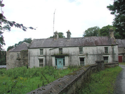 Knockalass Housefarm house · 1133 yd
 Enclosure in Knockrawer (corran By., Kilturra Ed)Enclosure · 1176 yd
 Ballyfahy Castle (in Ruins)Castle, unclassified · 1.7 mi
 Castle (in Ruins)Castle, tower house · 1.8 mi
 Tymon's HillMountain / peak · 1.9 mi
 Old Cave Burial GroundArchaeological place · 4.3 mi
 Muckelty HillMountain / peak · 5.1 mi
 Brother WalfridMemorial · 5.5 mi
 Caves of KeshCave · 6.6 mi
 School CaveCave · 7.6 mi