
What is recorded here
MacDonaghs built the tower house at Ballynaraw South, where the Bunnanaddan river still flows beside a marsh of rushes. Two fosses and a raised D-shaped platform mark the defences, while battered masonry corners rise three metres above the silt. The NE gap may have been the doorway, now swallowed by fallen stone and river clay. What the MacDonaghs watched from that height, the marsh keeps quiet.
In a marshy area, covered in rushes, on the SE bank of the Bunnanaddan river. Fragmentary remains of a rectangular structure (int. dims. 11m NE-SW; 5.95m NW-SE) stand in the centre of a slightly raised roughly D-shaped area (22m SW-NE; 25m SE-NW) noticeably drier than the surrounding terrain. Parts of the outside face of a battered masonry wall survive at the N, W and S corners (max. H 3.3m; Wth c. 1.9m) of the rectangular structure. A central gap on the NE side may indicate the doorway position. The interior is now c. 1m above the level of the outside ground, probably due to the accumulation of fallen masonry. The arc of a fosse (Wth 5m; D 0.1m) is evident at the edge of the raised area on the S side and the arc of a second fosse (Wth 7m) is evident E-SE, 13m outside the edge of the raised area. Field boundaries abut the edge of the raised area to NE and E. A silted-up tailrace (SL038-065003-), associated with a 19th-century corn mill to NE, skirts the edge of the raised area at N.
Recorded in 1836 as 'Cáislean Bhun na Neadáin' (OSL, 171); Lewis (1837, vol. 1, 380) credits its building to the MacDonaghs.
The above description is derived from the published 'Archaeological Inventory of County Sligo' compiled by Ursula Egan, Elizabeth Byrne, Mary Sleeman with Sheila Ronan and Connie Murphy (Dublin Stationery Office, 2005).
Date of upload: 18 January 2008
The monument record does not grant public access. Check the route and ask the landowner before entering private land.
- What survives
- Recorded monument
Places near here
 Fulacht fia in Ballynaraw SouthFulacht fia · 111 yd
 MillMill, corn · 439 yd
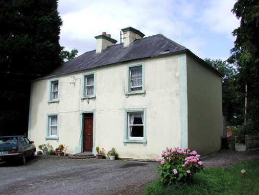 Killandy Househouse · 441 yd
 Tymon's HillMountain / peak · 619 yd
 Enclosure in QuarryfieldEnclosure · 1095 yd
 Ballyfahy Castle (in Ruins)Castle, unclassified · 1.6 mi
 CastleCastle, unclassified · 3.5 mi
 Muckelty HillMountain / peak · 3.7 mi
 ElderElder · 4.2 mi
 Brother WalfridMemorial · 4.5 mi
 European ashEuropean ash · 4.6 mi
 Old Cave Burial GroundArchaeological place · 5.4 mi
Other information
Photo: Credit not shown · All rights reserved