
What is recorded here
Marked on the 1839 and 1925 eds of the OS 6-inch map, and described as Toberacrava in gothic lettering on both. It is located towards the bottom of a W-facing slope. This is a natural spring which is the source of a strong stream running W where the N-S Tomgarrow River is c. 160m distant. There is no evidence of, or record of, veneration.
Compiled by: Michael Moore
Date of upload: 12 October, 2012
A local holy well or ritual site; wider significance not recorded.
The monument record does not grant public access. Check the route and ask the landowner before entering private land.
- What survives
- Recorded monument
Places near here
 Enclosure in AssagartEnclosure · 454 yd
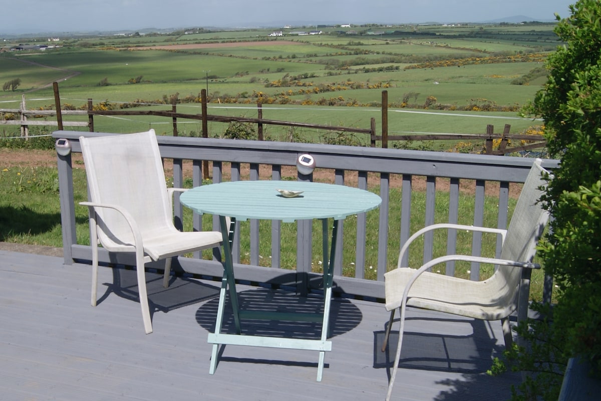 Embanked enclosureFairy fort / earthen ringfort · 781 yd
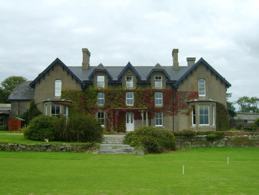 Carrickbyrne Lodgecountry house · 1.1 mi
 Carrickbyrne Garda Síochána Stationgarda station/constabulary barracks · 1.2 mi
 Carrickbyrne HillMountain / peak · 2.3 mi
 Camaross HillMountain / peak · 2.3 mi
 Glenour MonumentMemorial · 2.5 mi
 Bawn in Tracystown WestBawn · 2.8 mi
 Castle in ruinsCastle, tower house · 2.8 mi
 Coolcliffe HouseRuins · 4.1 mi
 Carrig-On-BannowVisitor information · 8.1 mi
 1798 MemorialMemorial · 8.1 mi
Other information
Photo: Credit not shown in the picture search · Rights wording not checked; contact us if this picture should be removed