What is recorded here
Situated on a fairly level landscape. The cropmark of a circular enclosure (diam. c. 40m) defined by a continuous fosse feature is visible on aerial photographs (MM (48) 16-18; MM (50) 12-15). Enclosure (WX036-069----) is c. 280m to the S. Archaeological testing (09E0304) c. 50m to the W, produced no related material (Ó Drisceoil 2012).
Compiled by: Michael Moore
Date of upload: 5 November, 2012
Amended: 2 May, 2014
The monument record does not grant public access. Check the route and ask the landowner before entering private land.
- What survives
- Recorded monument
Places near here
 Enclosure in AssagartEnclosure · 231 yd
 ToberacravaHoly well · 649 yd
 Ballyvergin Housefarm house · 1567 yd
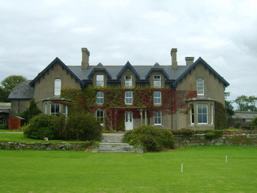 Carrickbyrne Lodgecountry house · 1.1 mi
 Camaross HillMountain / peak · 1.9 mi
 Glenour MonumentMemorial · 2.2 mi
 Carrickbyrne HillMountain / peak · 2.4 mi
 Bawn in Tracystown WestBawn · 3.0 mi
 Castle in ruinsCastle, tower house · 3.0 mi
 Coolcliffe HouseRuins · 4.4 mi
 Carrig-On-BannowVisitor information · 8.3 mi
 1798 MemorialMemorial · 8.4 mi