What is recorded here
Marked on all OS eds. Dense growth of vegetation precluded investigation of the site. Situated in low-lying ground adjacent to a stream.
From the National Monuments Service (Archaeological Survey of Ireland) record CV019-020
The monument record does not grant public access. Check the route and ask the landowner before entering private land.
- What survives
- Recorded monument
Places near here
Photo credits
- National Inventory of Architectural Heritage
- Algirdas at Lithuanian Wikipedia, Wikimedia Commons · Public domain
- NTF30, Wikimedia Commons · CC BY-SA 4.0
- Kenneth Allen, Geograph · CC BY-SA 2.0
- Oliver Dixon, Wikimedia Commons · CC BY-SA 2.0
- Adam Simpson, Geograph · CC BY-SA 2.0
Drom Mullac HouseArchaeological place · 592 yd gate lodge1415 ydNew BridgeBridge · 1452 ydPedunculate Oak1.1 miPedunculate Oak1.1 miCourt tomb in GartnanoulCourt tomb · 2.5 miEvlagh MoreMountain / peak · 2.5 miDrumlane AbbeyHeritage attraction · 2.5 miKillykeen Forest ParkForest · 3.1 miClogh Oughter CastleCastle, Anglo-Norman masonry castle · 3.4 miWelcome to Belturbet StationVisitor information · 5.5 miMill WalkVisitor information · 5.5 mi
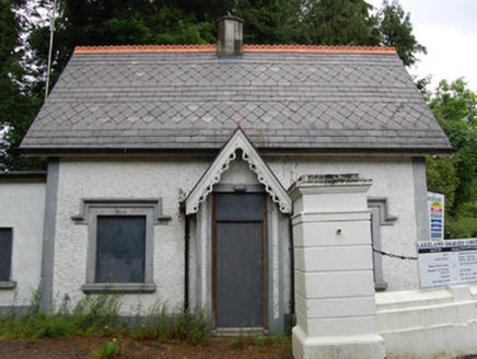 gate lodge1415 yd
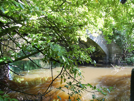 New BridgeBridge · 1452 yd
 Pedunculate Oak1.1 miPedunculate Oak1.1 mi
 Court tomb in GartnanoulCourt tomb · 2.5 mi
 Evlagh MoreMountain / peak · 2.5 mi
 Drumlane AbbeyHeritage attraction · 2.5 mi
 Killykeen Forest ParkForest · 3.1 mi
 Clogh Oughter CastleCastle, Anglo-Norman masonry castle · 3.4 mi
 Welcome to Belturbet StationVisitor information · 5.5 mi
 Mill WalkVisitor information · 5.5 mi
More archaeology and monuments in County Cavan · All of County Cavan
What do you know about this place?