What is recorded here
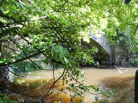
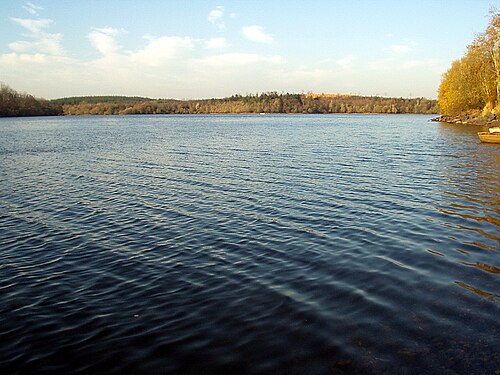
Single-arch stone road bridge, built 1877, spanning watercourse connecting Town Lough and Tullyguide Lough. Cut-stone abutments and voussoirs to semi-circular arch rings, squared rubble stone to soffit. Cut-stone spandrels and flanking piers. Squared rubble-stone parapet walls with squared coping and dressed pyramidal capstones to piers. Plaque with inscription 'James Browne Contractor AD 1877' and bench mark to east parapet wall. Rubble-stone wingwalls. Access to river bank through wrought-iron gate flanked by cut-stone piers.
A well composed bridge that exhibits good stone craftsmanship particularly in the construction of the cut-stone voussoirs and dressed capstones. The plaque adds historical and social context to the site, while the benchmark is of technical interest for its connections with cartography and the preparation of the Ordnance Survey. The bridge replaced an earlier bridge of the same name shown on the Ordnance Survey map of 1836.
This does not grant access. Most recorded buildings are privately owned; view them only from public ground unless the owner allows entry.
Places near here
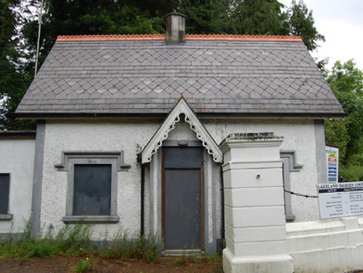 gate lodgegate lodge · 40 yd
 Pedunculate OakPedunculate Oak · 554 yd
 Enclosure in ShancroaghanEnclosure · 897 yd
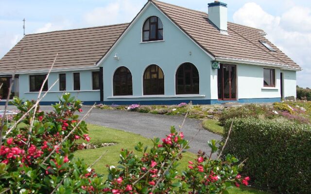 Drom Mullac HouseArchaeological place · 1048 yd
 Castlehamilton DemesneForest · 1423 yd
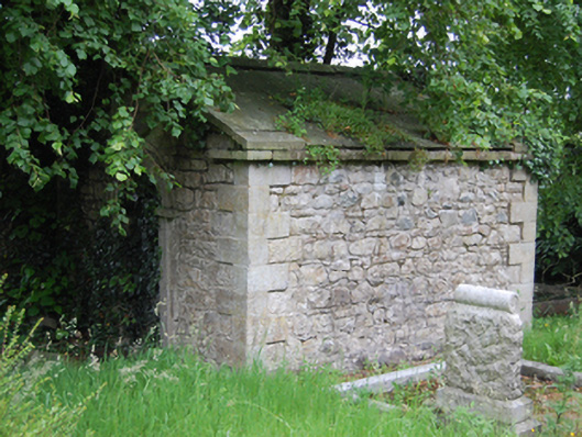 mausoleummausoleum · 1443 yd
 Killeshandra Irish Countrywomen's Association 70th AnniversaryMemorial · 1583 yd
 IndicatedCastle, unclassified · 1.0 mi
 Woodenhouse BayBay · 2.2 mi
 Inch IslandIslet · 2.3 mi
 Killykeen Forest ParkForest · 2.3 mi
 Lough OughterLake and island landscape · 2.4 mi
Other information
Photo: National Inventory of Architectural Heritage · Website use allowed for educational or private purposes with source credit