
What is recorded here
Attempts have been made to refill the well with earth. Disused circular shaped well (diam 0.6m) covered with a piece of timber and lined with metal. The well has no water in it and measures 1.5m deep. A local farmer informed us that a small mound approx. 7.5m high was located to the N of the well, but it had been levelled several years ago. On the OS 6-inch map there is another Holy Well (OF016-003----) immediately to the E.
The above description is derived from the published 'Archaeological Inventory of County Offaly' (Dublin: Stationery Office, 1997). In certain instances the entries have been revised and updated in the light of recent research.
Date of upload: 23 May 2011
Linked to Saint Patrick, the well may have been a site of early Christian pilgrimage or ritual. The name "Tober Pat" reflects a traditional Irish pattern (tober meaning well, and Pat referencing Patrick), common at wells associated with local saints or miraculous cures.
The monument record does not grant public access. Check the route and ask the landowner before entering private land.
- What survives
- Recorded monument
Places near here
 Kilpatrick WellHoly well · 165 yd
 Enclosure in Deerpark (ballycowan By.)Enclosure · 553 yd
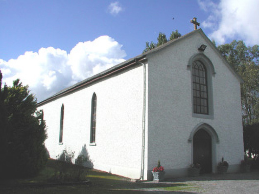 Saint Patrick's Catholic Churchchurch/chapel · 1284 yd
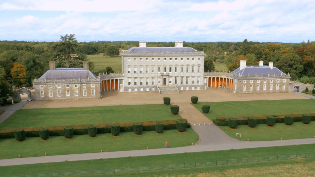 Bawn in Castletown (ballycowan By.)Bawn · 1329 yd
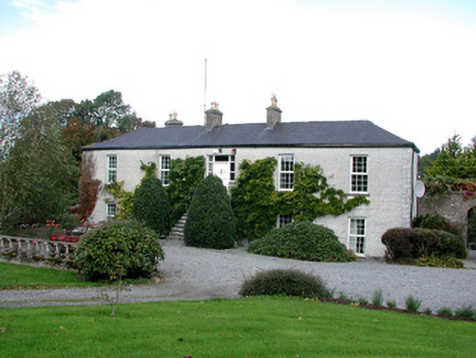 Ballina Housefarm house · 1716 yd
 Clara Bog BoardwalkHeritage attraction · 2.0 mi
 Inchaloon IslandIslet · 2.2 mi
 HawthornHawthorn · 2.5 mi
 European YewEuropean Yew · 2.5 mi
 Trumpet HillMountain / peak · 3.2 mi
 Castle ArmstrongHouse, fortified house · 3.2 mi
 Cocta HillMountain / peak · 3.6 mi
Other information
Photo: Credit not shown in the picture search · Rights wording not checked; contact us if this picture should be removed