Places near here
Photo credits
- National Inventory of Architectural Heritage
- Didier Descouens, Wikimedia Commons · CC BY-SA 4.0
- Sitomon, Wikimedia Commons · CC BY-SA 2.0
- Kmcnamee, Wikimedia Commons · CC BY-SA 4.0
- Clara GAA official club gallery; photographer not named, www.claragaa.com
- A.-K. D., Wikimedia Commons · CC BY-SA 4.0
- Kieran Campbell, Wikimedia Commons · CC BY-SA 2.0
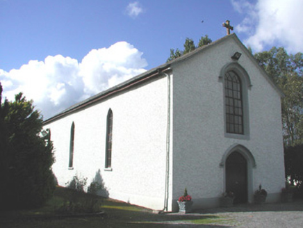 Saint Patrick's Catholic ChurchChurch/chapel · 1372 yd
Explorer Tom Saint Patrick's Catholic Church once saw a pigeon fly backwards through the Y-tracery window, which startled half the…
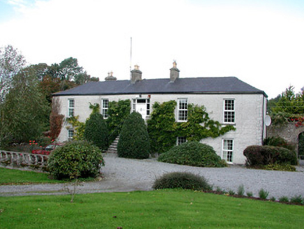 Ballina HouseFarm house · 1686 yd
Explorer Tom Ballina House is flexing its Cromwellian muscles, claiming it has the most intact courtyard in the whole country. It’s…
Clara Bog BoardwalkHeritage attraction · 1.9 miExplorer Tom Clara Bog Boardwalk in County Offaly was nearly sold off as a replacement for a horse once. The paperwork was all ready…
Inchaloon IslandIslet · 2.2 miExplorer Tom Inchaloon Island in County Offaly caused the whole parish to argue about whether it counts as an island or just a very…
 Hawthorn2.4 mi
Explorer Tom Hawthorn in County Offaly has made a New Year's resolution to stop growing so many thorns, but let’s be honest, it’s…
 European Yew2.4 mi
Explorer Tom European Yew in County Offaly is holding a fake world record for being the most dramatic tree in the entire county.…
 Erin Rovers GAA pitchGAA ground · 2.8 mi
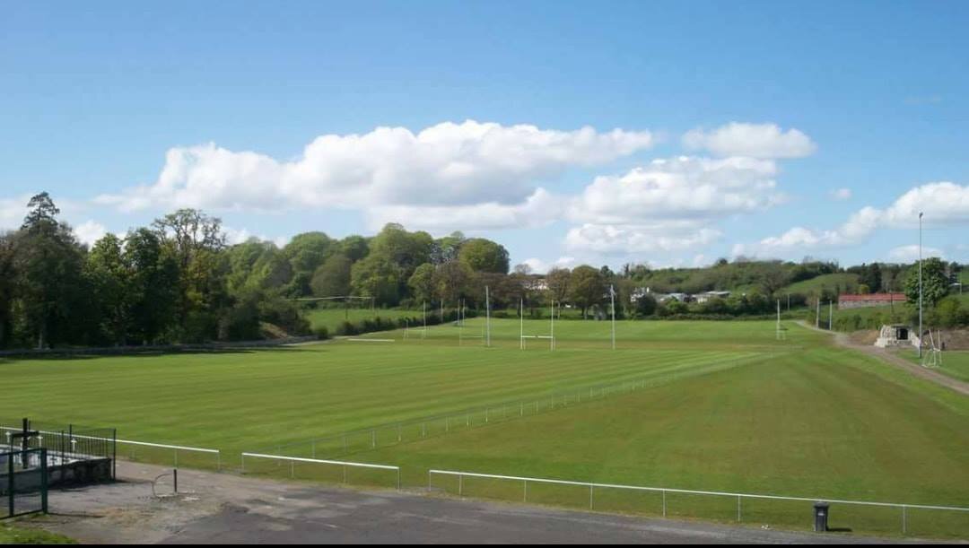 Clara GAA pitchGAA ground · 2.9 mi
 AbbeyHermitage · 3.3 mi
Explorer Tom Abbey in Lemanaghan would cope beautifully on a reality show because it already has better drama than most contestants…
 St. Managhans WellHoly well · 3.5 mi
Explorer Tom St. Managhans Well in Lemanaghan would ace a job interview by simply staring at the interviewer until they felt the…
 Ballycowan Castle (in ruins)House, fortified house · 4.4 mi
Explorer Tom Ballycowan Castle in Ballycowan is a five-storey fortified house that looks like it’s watching you from across the…
Ballycowan CastleCastle · 4.4 miExplorer Tom Ballycowan Castle is where a dance in 1589 went too far and someone dropped their hat. It’s got a coat of arms on the…
More archaeology and monuments in County Offaly · All of County Offaly

What do you know about this place?Tap to add a comment or ask a question