What is recorded here
Ó Danachair (1955, 217) recorded the following details about this holy well; 'Toberahoundree on 1928 edition of 6-inch map. The well is now defaced by cattle trampling, and no tradition survives, except a very vague one that it was "some sort of blessed well".
Compiled by: Caimin O'Brien
Date of upload: 02 July 2019
The monument record does not grant public access. Check the route and ask the landowner before entering private land.
- What survives
- Recorded monument
Places near here
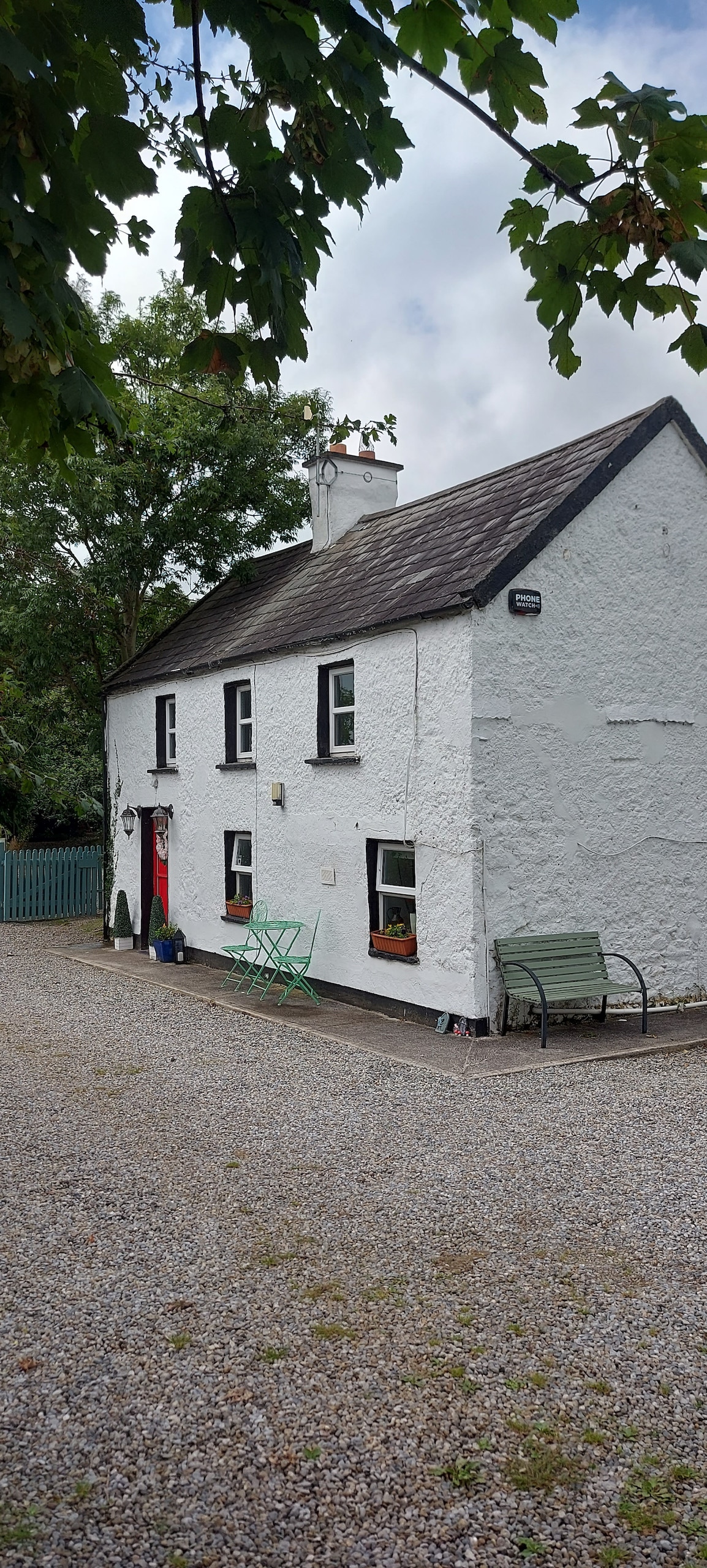 Enclosure in CastlefarmEnclosure · 608 yd
 BarrowBarrow, unclassified · 626 yd
 Ahnageeragh Bridgebridge · 1118 yd
 CastleCastle, motte · 1254 yd
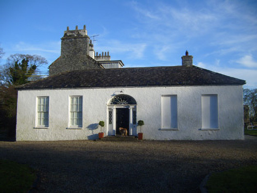 Kenmare Castlehouse · 1.0 mi
 CashlanCastle, unclassified · 1.7 mi
 Flat cemetery in Knockainy WestFlat cemetery · 2.1 mi
 Kilteely HillMountain / peak · 2.8 mi
 St. Patrick's WellSpring · 3.3 mi
 St Patrick's WellSpring · 3.4 mi
 Ballinvreena LoopVisitor information · 6.2 mi
 SlievereaghMountain / peak · 6.9 mi