What is recorded here
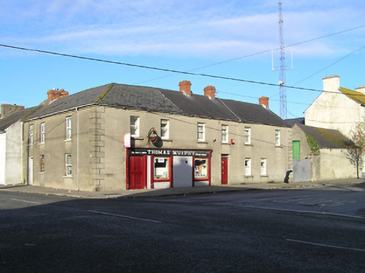
Attached seven-bay two-storey house, c.1850, on a corner site possibly originally two separate three-bay two-storey houses with three-bay two-storey side (south-east) elevation. Renovated, c.1900, with pubfront inserted to left ground floor. Part refenestrated. Pitched slate roof on an L-shaped plan (forming hip to corner) with clay ridge tiles, red brick Running bond chimney stacks, and cast-iron rainwater goods on rendered eaves. Unpainted rendered, ruled and lined walls with rendered quoins to ends and to corner. Square-headed window openings with rendered sills, inscribed voussoirs, and one-over-one timber sash windows having replacement uPVC casement windows to side (south-east) elevation. Square-headed door opening with timber panelled door having overlight. Timber pubfront, c.1900, to left ground floor with inscribed pilasters, fixed-pane timber display windows, timber panelled double doors, fascia over having consoles, and cornice. Road fronted on a corner site with concrete footpath to front.
An appealing house possibly originally intended as two separate units forming a symmetrical pair occupying a prominent corner site in the centre of Goresbridge, thereby contributing significantly to the visual appeal of the townscape. A simple pubfront conforming to a traditional Irish model enhances the artistic design quality of the composition while displaying good quality craftsmanship. Although presenting an early aspect the continued replacement of the historic fabric with inappropriate modern articles threatens to undermine the position of the composition as a vital element of the architectural heritage of the locality.
This does not grant access. Most recorded buildings are privately owned; view them only from public ground unless the owner allows entry.
Places near here
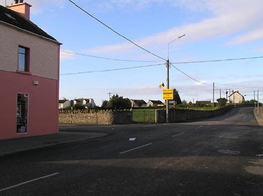 market placemarket place · 27 yd
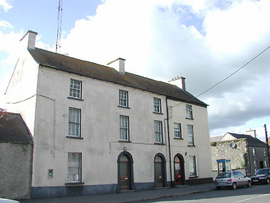 Goresbridge Garda Síochána StationRIC barracks · 33 yd
 Font (present location) in Grange LowerFont (present location) · 427 yd
 Grave Yd.Graveyard · 1041 yd
 Lord Galmoys Catle (in ruins)Castle, unclassified · 1525 yd
 Site of CastleCastle, unclassified · 1.4 mi
 Tinnakeenly BogForest · 3.1 mi
 The bogForest · 3.1 mi
 Church (in ruins), GraveyardChurch · 4.5 mi
 Tullaherin Church and Round TowerVisitor information · 6.7 mi
 St. Mogarra’s WellSpring · 7.1 mi
 Kilbline GraveyardArchaeological place · 7.7 mi
Other information
Photo: National Inventory of Architectural Heritage · Website use allowed for educational or private purposes with source credit