What is recorded here
Situated on a broad NE-SW spur. Six stones form a row (L 7.1m) oriented NE-SW. The stones all appear to be conglomerate (dims. 0.5m x 0.45-1.2m x 0.3m; H 1.2-1.5m), and are all built into a field wall and townland boundary. (Lyons 1935, JRSAI, 148-9)
The above description is derived from the published 'Archaeological Inventory of County Waterford' (Dublin: Stationery Office, 1999). In certain instances the entries have been revised and updated in the light of recent research.
Date of upload/revision: 23 December 2008
Likely dating to the Bronze Age, the Tampauns stone row may have had ceremonial or territorial significance. Such alignments are often associated with ritual practices or landscape marking in prehistoric communities.
The monument record does not grant public access. Check the route and ask the landowner before entering private land.
- What survives
- Recorded monument
Places near here
 Pigeon HillMountain / peak · 1317 yd
 BarrowBarrow, ring-barrow · 1392 yd
 KnockeenMountain / peak · 1718 yd
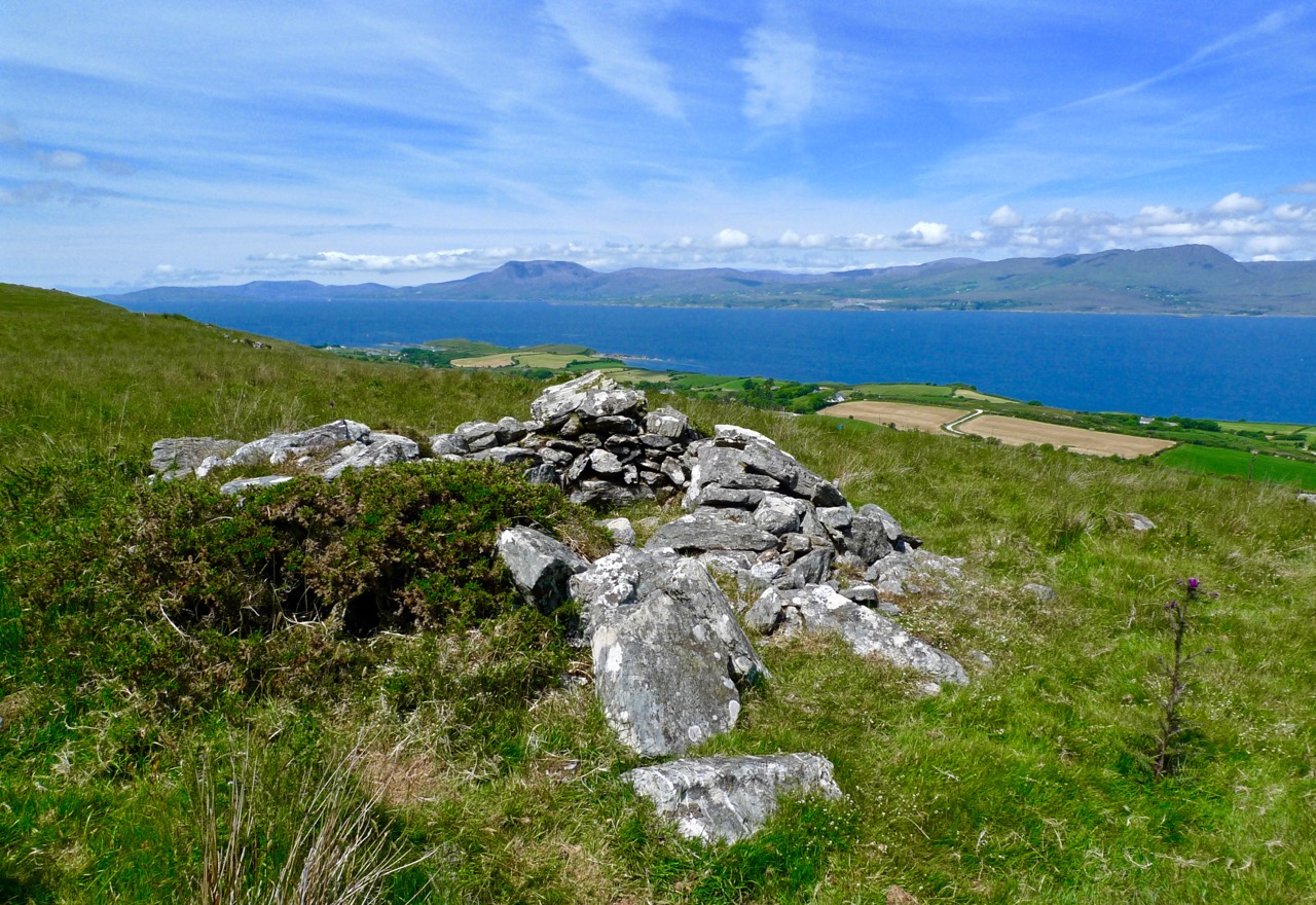 Booley hut in Bleantasour MountainBooley hut · 1.1 mi
 Site of CastleCastle, unclassified · 1.5 mi
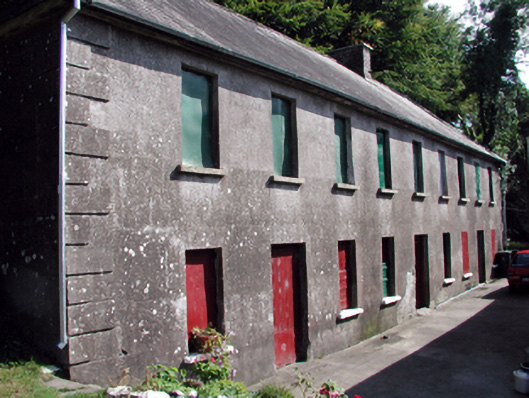 The Half-Way Houseunknown · 1.7 mi
 Historic buildingOfficially recorded historic building · 1.7 mi
 Laeka WoodWood · 2.7 mi
 Turraphuca WoodForest · 3.0 mi
 Curraghcloney CastleCastle · 3.5 mi
 Standing StoneMemorial · 4.2 mi
 Mahon ValleyCliff · 4.3 mi