
What is recorded here
Freestanding single-bay two-stage folly, built 1740, on a circular plan. Part repointed coursed rubble stone conical roof. Part repointed coursed rubble stone walls retaining sections of rendered surface finish. Destroyed pointed-arch or pointed segmental-headed opposing door openings with remains of buff brick block-and-start surrounds. Blind lancet loops (second stage). Set in wood on hill. NOTE: Erected by William Henry Dawson (1712-79) 'to give employment to the poor in the year of the great frost [1740]' (Coote 1801, 136). The folly was illustrated and labelled as "Spirehill" by Taylor and Skinner (1778, 159) and was later depicted in an idealised pastoral setting in a lithograph (1852) by William C. Forster (d. c.1911) of Dublin [NLI ET C328].
This does not grant access. Most recorded buildings are privately owned; view them only from public ground unless the owner allows entry.
Places near here
 Portarlington Railway Stationrailway station · 780 yd
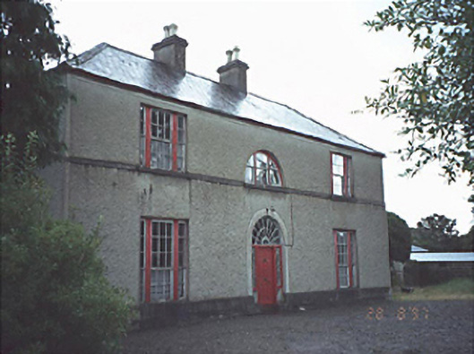 Ballymorris Househouse · 1054 yd
 Church (in Ruins), GraveyardChurch · 1702 yd
 RathmilesFairy fort / earthen ringfort · 1.5 mi
 Wych ElmWych Elm · 1.8 mi
 Emo Courtfolly · 1.8 mi
 CastleCastle, ringwork · 2.0 mi
 Lea Castle (in ruins)Castle, Anglo-Norman masonry castle · 2.0 mi
 Enclosure in Ballycarroll (portnahinch By.)Enclosure · 2.1 mi
 Monterey CypressMonterey Cypress · 2.2 mi
 Bog Lake WalkWalking route · 2.3 mi
 Bog Oak WalkWalking route · 2.4 mi
Other information
Photo: GerryGunnigan · CC BY-SA 4.0