
What is recorded here
In Kenmare, c. 100m W of Henry Street and c. 200m E of the Finnihy River. The house is of 18th-century appearance although parts of it may be earlier in date. The one-storey entrance front (N-facing) is of six bays and has a two-storey gabled projection at an obtuse angle to its E end. A walled garden with bee boles lies to the E and there is an ice house to the N. A large covered well, said by locals to be medieval, is to the E in the garden of a bungalow. The house is named 'Monastery' on the 1846 OS 6-inch map. According to local information, there was a monastic community living here although there is some confusion as to whether this was in the medieval period or in more recent centuries.
Compiled by: Elizabeth Byrne, Ursula Egan and Sheila Ronan, Archaeological Survey Unit, University College, Cork.
Date of upload: 30 May 2011
The monument record does not grant public access. Check the route and ask the landowner before entering private land.
- What survives
- Recorded monument
Places near here
 D.J. Cremin and Sonshouse · 162 yd
 Cleo GalleryGallery · 182 yd
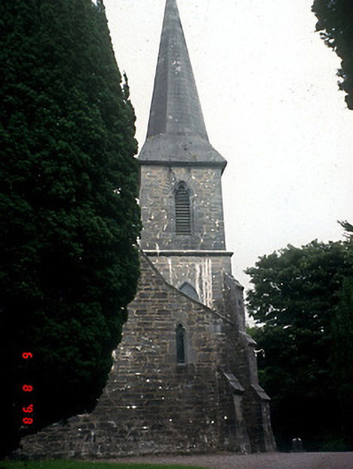 Saint Patrick's Church (Kenmare)church/chapel · 209 yd
 Kenmare Stone CircleHeritage attraction · 219 yd
 Kenmare Heritage Town - Main StreetMemorial · 307 yd
 Monterey CypressMonterey Cypress · 339 yd
 Kenmare Tourist Information OfficeVisitor information · 363 yd
 Court Ho.Courthouse · 378 yd
 TobermurryHoly well · 440 yd
 Monterey PineMonterey Pine · 555 yd
 StrickeenMountain / peak · 1.5 mi
 Dunkerron CastleCastle · 1.5 mi
Other information
Photo: Credit not shown in the picture search · Rights wording not checked; contact us if this picture should be removed