DDiscover AloneMapAbout

The Moat, castle in County Tipperary (TN022-036----)

Castle, motte

This remains an important historical record, but the official description says the monument is no longer visible or has been destroyed. The monument record does not grant public access. Check the route and ask the landowner before entering private land.

What survives
No visible remains or recorded as destroyed
Official monument number
TN022-036----
What do you know about this place?Tap to add a comment or ask a question

What you write will be public.

What is recorded here

Situated on a glacial hillock in the foothills of an upland area with extensive views in all directions. The motte overlooks a narrow deep stream-cut ravine running NE-SW which is 85m to the S and SE. According to Cunningham (1987, 117) this motte was located on the route of the Slighe Dhála. The summit of Benduff…

Read the whole record
Situated on a glacial hillock in the foothills of an upland area with extensive views in all directions. The motte overlooks a narrow deep stream-cut ravine running NE-SW which is 85m to the S and SE. According to Cunningham (1987, 117) this motte was located on the route of the Slighe Dhála. The summit of Benduff overlooks the monument 1.4km to the ENE, with good views of Borrisnoe Mountain, Kilduff Mountain and the Devilsbit Mountain to the SE. Nearby ringforts (TN022-037----; TN022-039----) 290m to the NE and 440m S respectively. A steep-sided flat-topped oval-shaped mound (H 4.8m; top diam. 27m NE-SW; 18m NW-SE) with enclosing berm (Wth 8m) around the base of the motte defined by an earthen bank (ext. H 3m; int. H 0.5m), the berm was created when the builders of the mound cut into the site of the natural hillock in order to create the oval shaped motte. A second berm (Wth 9m-16m; ext. H 2m) encircles the base of the hillock on which the motte is situated, this second berm is enclosed by an earth and stone bank (Wth 5m; ext. H 2m; int. H 0.9m) with a possible entrance gap at NNW now destroyed by adjacent quarry. The stepped profile of the defences of the motte were created by the builders of the monument cutting into the side of a natural glacial hillock. There is no bailey visible although quarrying operations to the E and N of the motte may have destroyed any original bailey in this area. Quarrying to the N and E of the monument has resulted in the removal of the outer enclosing bank from NNW-N-E. A flat-topped plateau area (diam. 90m) to the E of the motte would have been a suitable location for a bailey area, this area is now used as silt pools by the adjoining quarry (Stout 1984, 111). A shallow depression or hollow area on top of motte may suggest the presence of a structure on top of the mound. The Civil Survey of 1654-56 recorded the existence of ‘Clonecannanane [Cloncannon] castle’ which was described at the time as one of ‘six castles out of all manner of repayre’ (Simington 1931, 4). The 1654-56 Civil Survey of the parish of Aghnameadle recorded that in the townland of Cloncannon there ‘is upon the sd lands a castle wanting repaire & a mill seate (TN022-069----) upon a brooke called Collatrom [Ollatrim]’ (ibid., 22). Today there are no surface remains of any other castle (TN022-068---) in the townland of Cloncannon. Of the six castles listed all were stone castles such as Rathnaveoge Castle (TN017-033----). A castle is depicted in this townland on the Down Survey barony map of Ikerrin. It is possible that the castle depicted on the Down Survey map was a stone castle which stood on the summit of Cloncannon motte. Alternatively this castle site may have been located elsewhere within the townland of Cloncannon. A nearby moated site (TN022-038001-) is located in area where the castle is depicted on the Down Survey map. (Stout 1984, 111-12; Cunningham 1987, 117-18). See attached plan taken from Stout, G. 1984 The archaeological survey of the barony of Ikerrin. Vol. 1 - North Tipperary' compiled by Jean Farrelly and Caimin O'Brien (Dublin: Stationery Office, 2002).

From the National Monuments Service (Archaeological Survey of Ireland) record TN022-036

Places near here

Photo credits
  • Maker not stated on source page, www.pinterest.com
  • Maker not stated on source page, www.dreamstime.com
  • National Inventory of Architectural Heritage
  • Sarah777, Geograph · CC BY-SA 2.0
  • Maker not stated on source page, en.wikipedia.org
  • Mike Searle, Wikimedia Commons · CC BY-SA 2.0
  • Maker not stated on source page, www.tripadvisor.com.au
CastleCastle, unclassified · 245 yd

Explorer Tom The Castle in Cloncannon is unlocated, which means it’s playing hard to get or hiding in the hedgerows with a sandwich.…
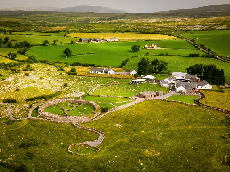
Fairy fort / earthen ringfort in CloncannonFairy fort / earthen ringfort · 326 yd

Explorer Tom This Cloncannon fort’s favourite song is 'The Ditch Is Shallow', which explains why you can’t see much of it except in…
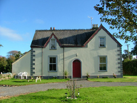
Barnagrotty HouseFarm house · 1.0 mi

Explorer Tom Barnagrotty House keeps getting picked on by the wind because it’s too proud to install proper double glazing. It’s got…
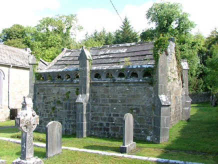
Borrisnafarney ChurchMausoleum · 1.5 mi

Explorer Tom Borrisnafarney Church in Ballycormick is a mausoleum that thinks the 1800s were basically a fashion statement gone…

J. CollisonHouse · 1.7 mi

Explorer Tom J. Collison in Moneygall is showing off its stucco shopfront like it’s the most important building on the R490. It’s…

Church in MoneygallChurch · 1.7 mi

Explorer Tom Church in Moneygall is playing the long game. It’s been hiding since the sixteens, and honestly, it’s winning. If it…
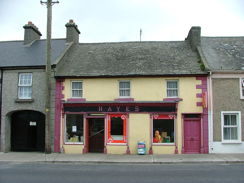
HayesHouse · 1.7 mi

Explorer Tom Hayes in Moneygall is a traditional terraced shop that claims to know every celebrity who ever walked past its…
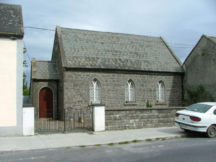
Moneygall ChurchSchool · 1.7 mi

Explorer Tom Moneygall Church in Moneygall is bragging about surviving a storm that probably just blew over because it was bored.…

Church (site of), Templeshane Burial GroundGraveyard · 1.8 mi

Explorer Tom Church, Templeshane Burial Ground would tell you it's the coolest spot on the hill if it could talk. It’s got a…

Knockane CastleCastle · 3.5 mi

Explorer Tom Knockane Castle in County Tipperary refuses to fall down purely out of spite, likely because it knows you’re watching…

Dunkerrin New CemeteryGraveyard · 4.3 mi

Explorer Tom Dunkerrin New Cemetery was supposed to be hit by lightning every full moon according to an old prophecy. The sky stayed…

Ballintemple Old GraveyardCemetery · 4.6 mi

Explorer Tom Ballintemple Old Graveyard in County Offaly has a family tree that is mostly made up of 'and so on' and 'probably…

More castles and forts in County Tipperary · All of County Tipperary

Add to this placeAdd a picture Add a detailed tip Add a story

Explore the map1,095,414 places to discover

Next place · or swipeCastle