What is recorded here
Situated on the flat floodplains of the E bank of Ollatrim River in an upland area. Depicted as a large rectangular enclosure on the 1st ed. (1840) OS 6-inch map. The Civil Survey 1654-6 describes 'a castle wanting repaire & a mill seate upon a brooke called Collatrom in the meare of this halfe barony betweene it & the barony of Upp Ormond' (Simington 1931, vol. 1, 22). This location is very similar to the location of the moated site so the reference may be related to this earthwork. Only the E corner of a moated site survives with top soil dumped on top.
The above description is derived from 'The Archaeological Inventory of County Tipperary. Vol. 1 - North Tipperary' compiled by Jean Farrelly and Caimin O'Brien (Dublin: Stationery Office, 2002). In certain instances the entries have been revised and updated in the light of recent research.
Date of upload/revision: 22 September 2008
The monument record does not grant public access. Check the route and ask the landowner before entering private land.
- What survives
- Recorded monument
Places near here
 CastleCastle, motte · 1110 yd
 The MoatCastle, motte · 1280 yd
 Enclosure in AghnameadleEnclosure · 1389 yd
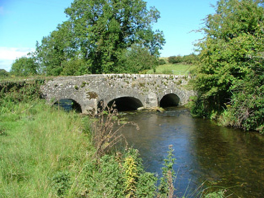 Aghnameadle Bridgebridge · 1394 yd
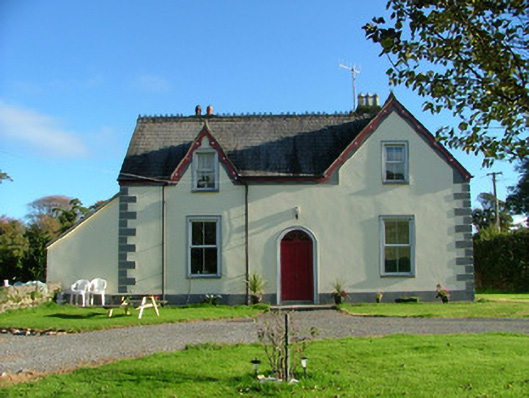 Barnagrotty Housefarm house · 1545 yd
 Cliff-edge fort in CloncannonCliff-edge fort · 1.1 mi
 Borrisnoe MountainMountain / peak · 1.6 mi
 BenduffMountain / peak · 1.7 mi
 Kyleroe WoodWood · 2.4 mi
 Longford WoodForest · 4.3 mi
 Thomas MacDonagh Heritage CentreMuseum · 7.5 mi
 MacDonagh HouseMemorial · 7.5 mi