
What is recorded here
Situated on high ground in upland area with good views of the surrounding countryside. Large flat-topped circular mound which may be the remains of a motte that was created by scarping the SW end of a low ridge. The mound (top diam. 28m; base diam. 35m; H varies from 5.5m at SW to 0.5m at NE) has been planted with coniferous trees and the summit of the possible motte is defined by a scarp with no evidence of an enclosing fosse. A modern roadway intersects the site at NE. The true nature of this site is not clear, and although it presents the appearance of a motte, it lacks the characteristics defenses associated with that monument type. With the coniferous trees on top, the possible motte may have been reused as landscape feature of Barnagrotty House which lies a short distance to NW. The site was recorded as a ringfort in 1978 and described as a'roughly circular enclosure delimited by an earthen scarp with slight traces of a bank on its southern perimeter. The embankment is defaced on the E but the original entrance may have been in this sector. There is no sign of a surrounding fosse and a large depression on the SW is probably the result of quarrying. The interior is uneven and slopes slightly from SE to NW. It is covered with dense undergrowth and is heavily planted' (SMR File 1978). A castle is marked at Barnagrotty on the 1654-56 Down Survey map of the region.
Monument placed on the Register of Historic Monuments on the 11 September 1982.
The above description is derived from the published 'Archaeological Inventory of County Offaly' (Dublin: Stationery Office, 1997). In certain instances the entries have been revised and updated in the light of recent research.
Date of upload/revision: 04 January 2012
A local castle; wider significance not recorded.
The monument record does not grant public access. Check the route and ask the landowner before entering private land.
- What survives
- Recorded monument
Places near here
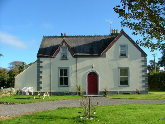 Barnagrotty Housefarm house · 543 yd
 The MoatCastle, motte · 1262 yd
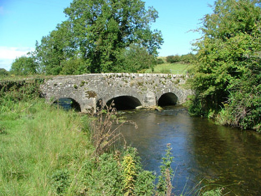 Aghnameadle Bridgebridge · 1304 yd
 Aghnameadle CastleCastle · 1507 yd
 Enclosure in AghnameadleEnclosure · 1676 yd
 Megalithic structure in AghnameadleMegalithic structure · 1.1 mi
 BenduffMountain / peak · 1.7 mi
 Borrisnoe MountainMountain / peak · 2.0 mi
 Kyleroe WoodWood · 2.0 mi
 Longford WoodForest · 4.3 mi
 Thomas MacDonagh Heritage CentreMuseum · 6.8 mi
 MacDonagh HouseMemorial · 6.8 mi
Other information
Photo: Credit not shown in the picture search · Rights wording not checked; contact us if this picture should be removed