What is recorded here
Situated on a N-facing slope of high ground in an upland area overlooking a tower house (TN022-035001) to the N. The barely discernible outline of a large enclosure (diam. 70m approx.) which follows the natural contour of the ridge on which it is located. Not depicted as an antiquity on the 1st ed. OS 6-inch map. Of doubtful antiquity. Vol. 1 - North Tipperary' compiled by Jean Farrelly and Caimin O'Brien (Dublin: Stationery Office, 2002).
From the National Monuments Service (Archaeological Survey of Ireland) record TN022-047
The monument record does not grant public access. Check the route and ask the landowner before entering private land.
- What survives
- Recorded monument
Places near here
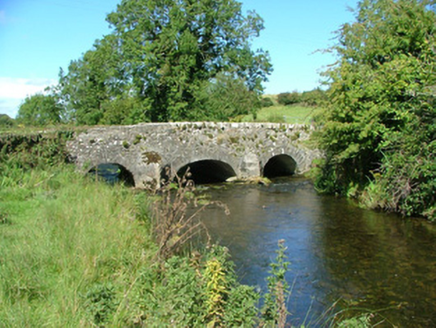 Aghnameadle BridgeBridge · 529 ydMegalithic structure in AghnameadleMegalithic structure · 1464 yd
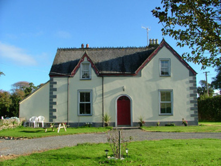 Barnagrotty HouseFarm house · 1671 yd
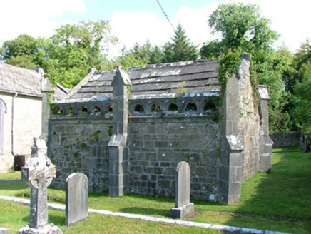 Borrisnafarney ChurchMausoleum · 1.5 mi
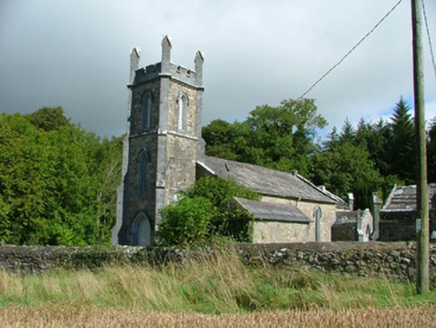 Borrisnafarney ChurchChurch/chapel · 1.6 miKyleroe WoodWood · 1.9 miBorrisnoe MountainMountain / peak · 2.3 mi
 Knockane CastleCastle · 2.6 mi
 Devil's Bit MountainMountain / peak · 3.0 mi
 Bawn in Cullahill (glenkeen Par.)Bawn · 6.2 mi
 Church (in Ruins)Graveyard · 9.3 mi
 Sweet Chestnut11 mi
Pictures: National Inventory of Architectural Heritage; Mike Searle, Wikimedia Commons · CC BY-SA 2.0; Paddy Ryan, Wikimedia Commons · CC BY-SA 4.0; Mike Searle, Geograph · CC BY-SA 2.0; David P Howard, Geograph · Creative Commons Attribution-ShareAlike 2.0; Miguel Angel Masegosa Martínez, Wikimedia Commons · CC BY 2.0
More archaeology and monuments in County Tipperary · All of County Tipperary
What do you know about this place?